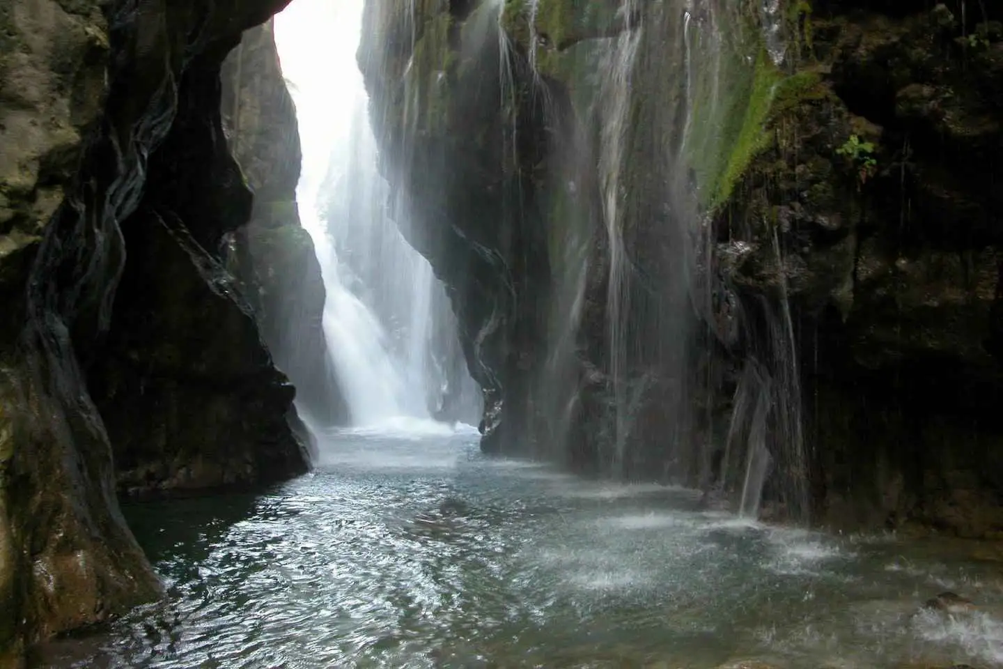
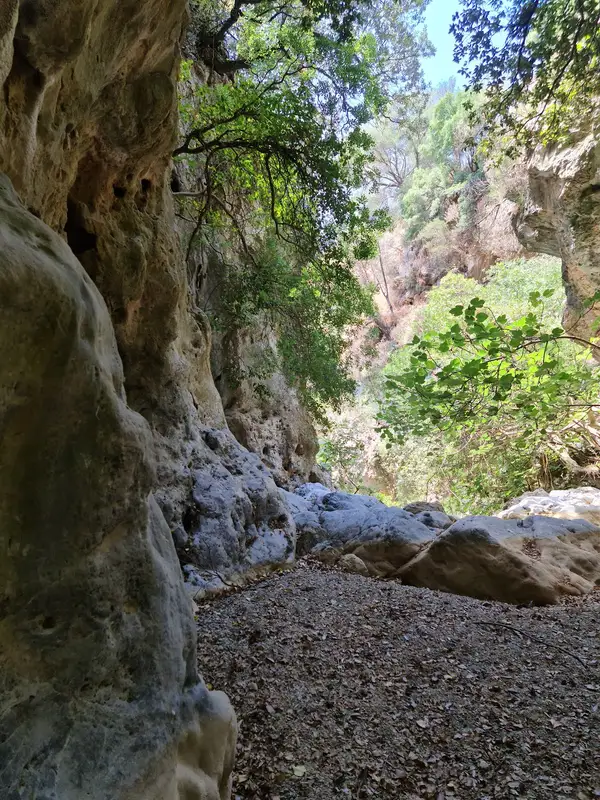
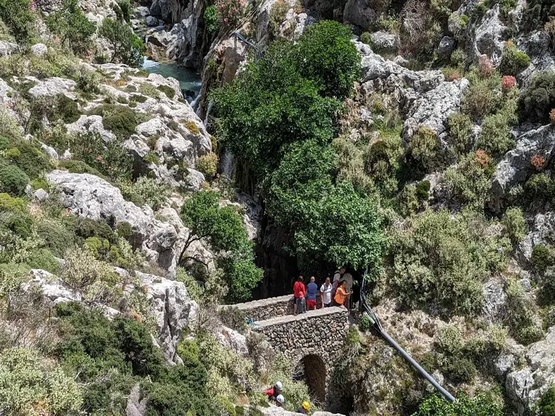
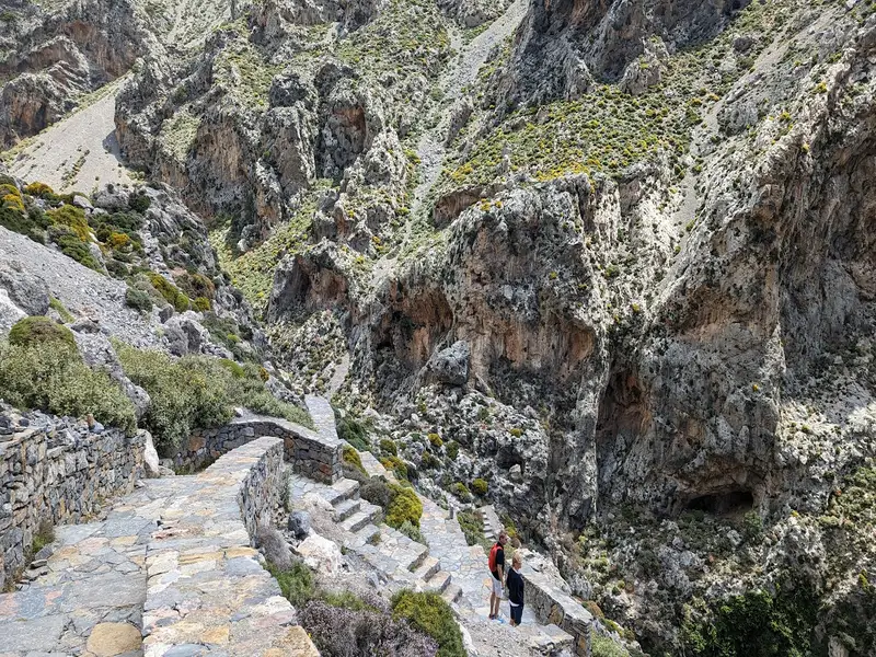
Embark on a thrilling river trekking through the biggest gorge in Rethymnon, right in the center of the island of Crete.
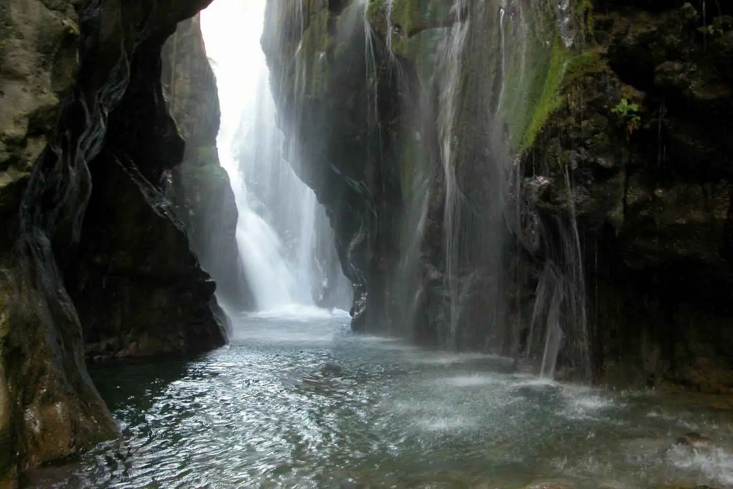
Follow the river’s shore through special paths away from crowds with our experience guide and get the chance to explore the hidden forest of the gorge, splash into natural pools, and witness the huge waterfall that falls into the canyon.
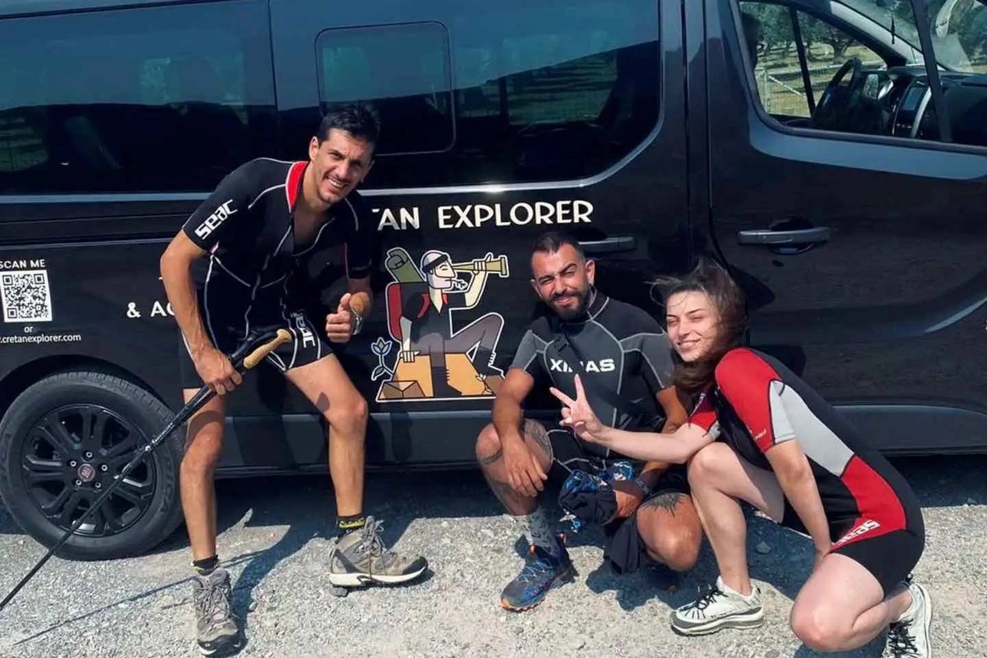
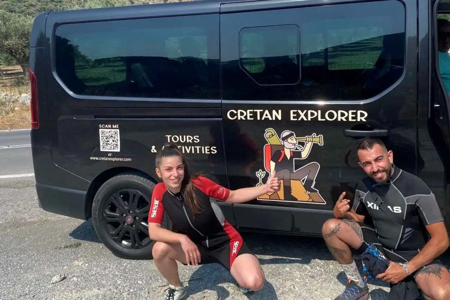
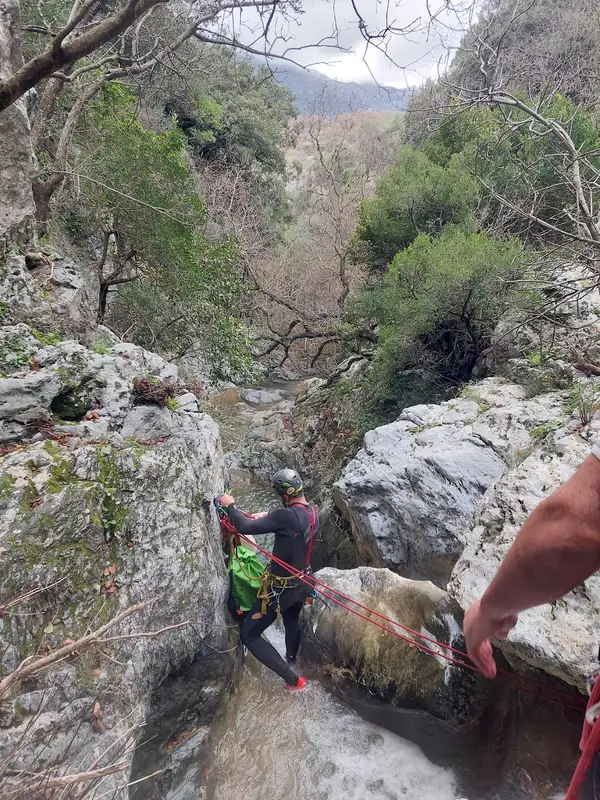
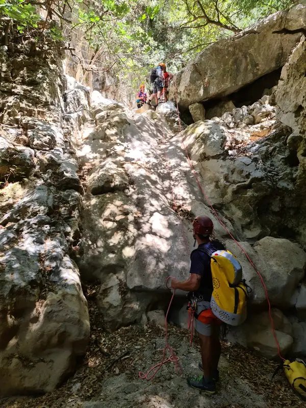
Once we arrive above the gorge we will provide you with neoprene suits, helmets, walking sticks and after a short briefing about the route that we follow, we immediately start the adventure!
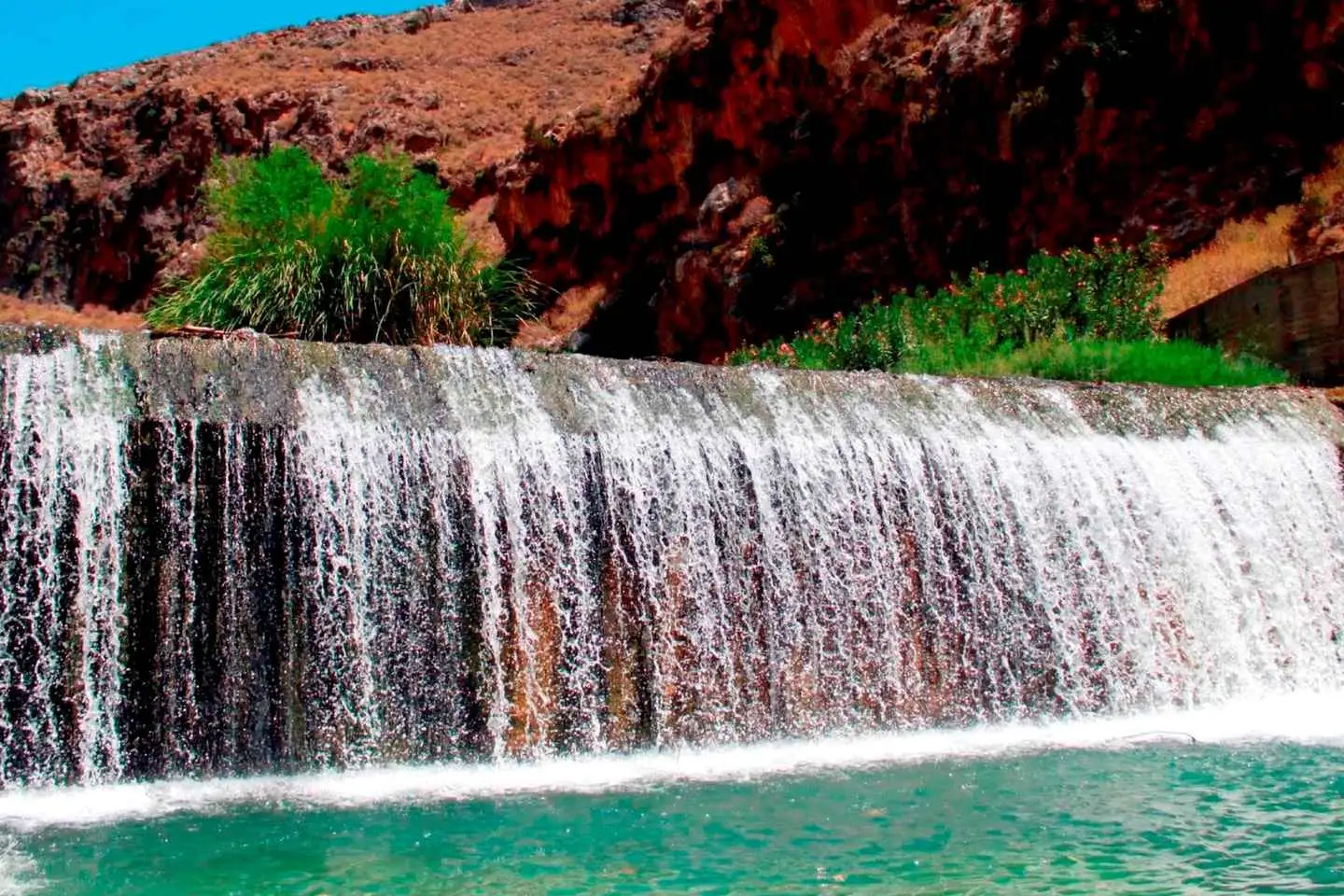
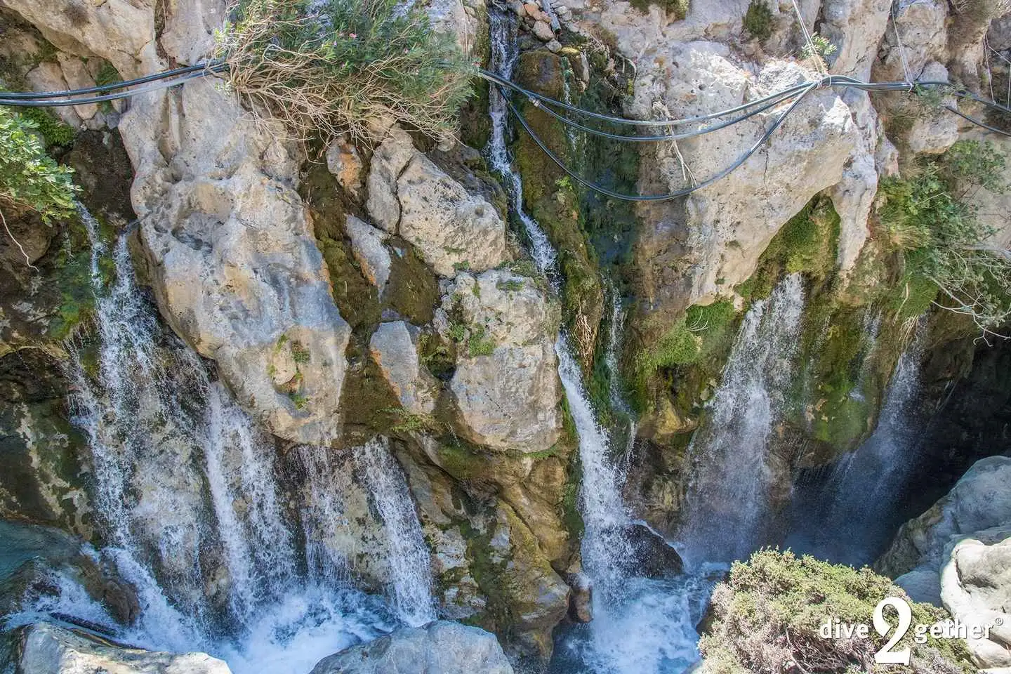
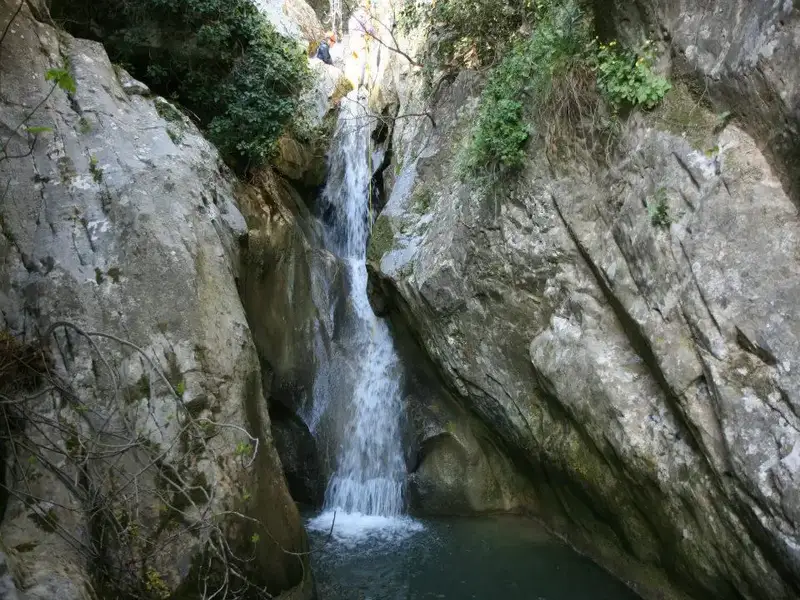
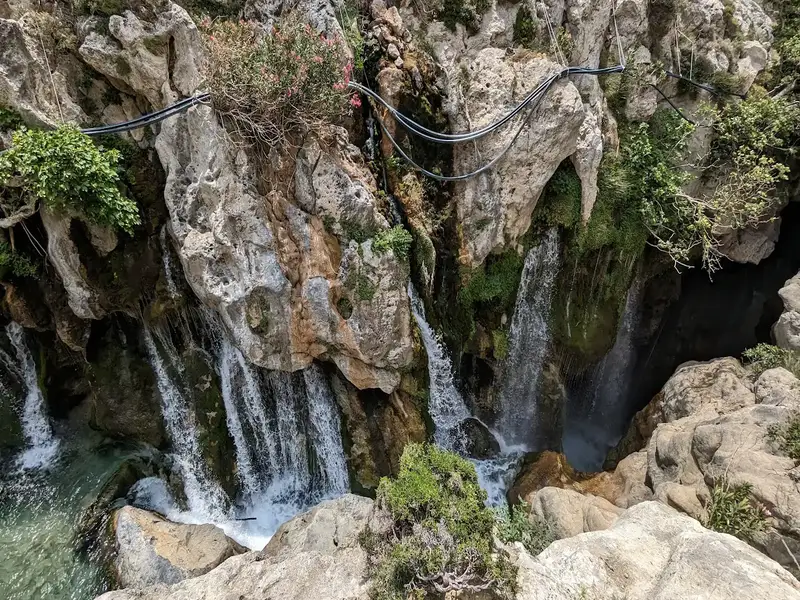
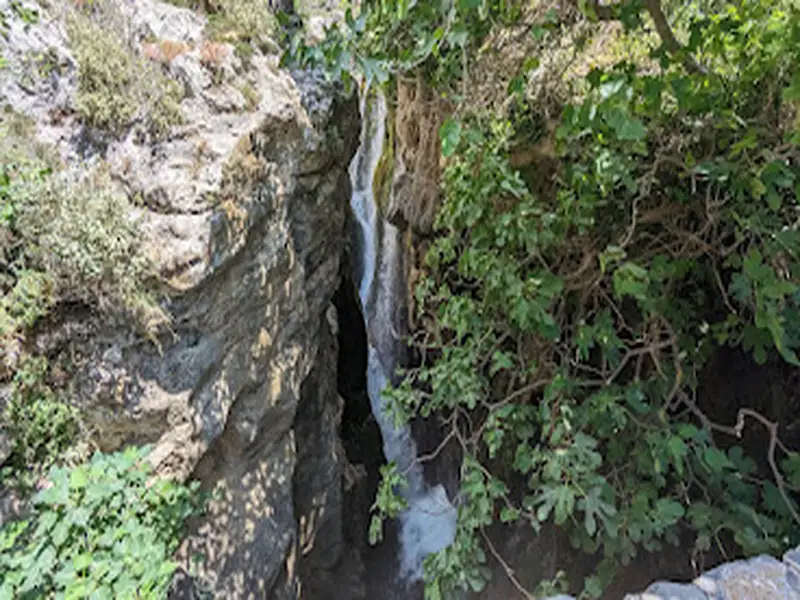
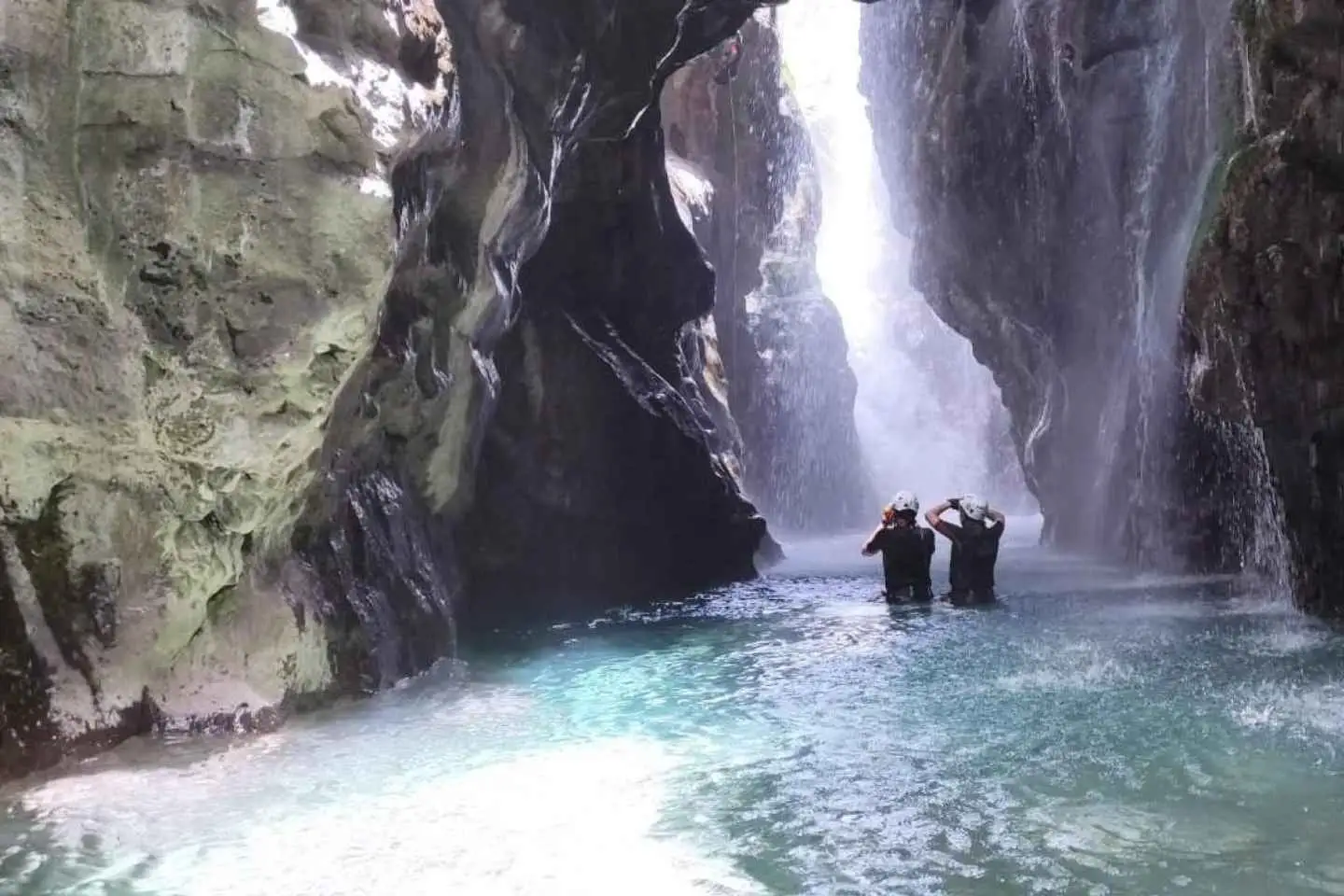
The first part includes an amazing view of the great waterfall! The flow never stops and the amount of water coming down from the mountains is simply amazing!
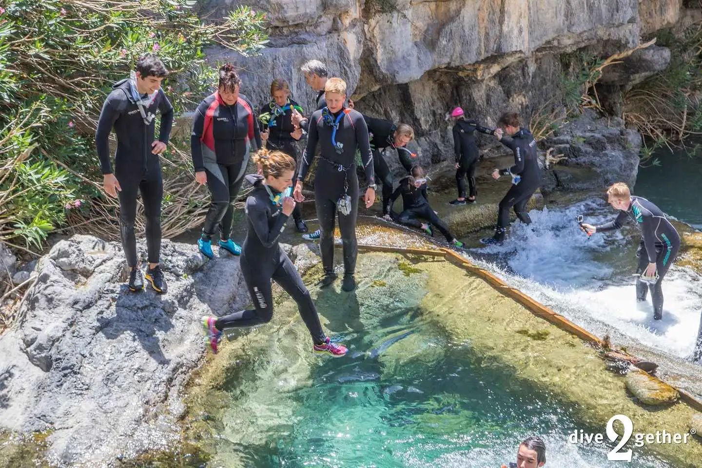
A small and safe jump will cool you up as the place is perfect for some instagramik pictures
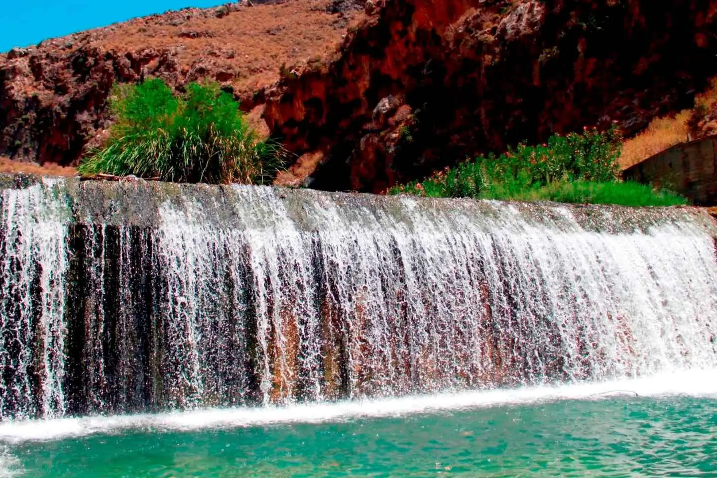
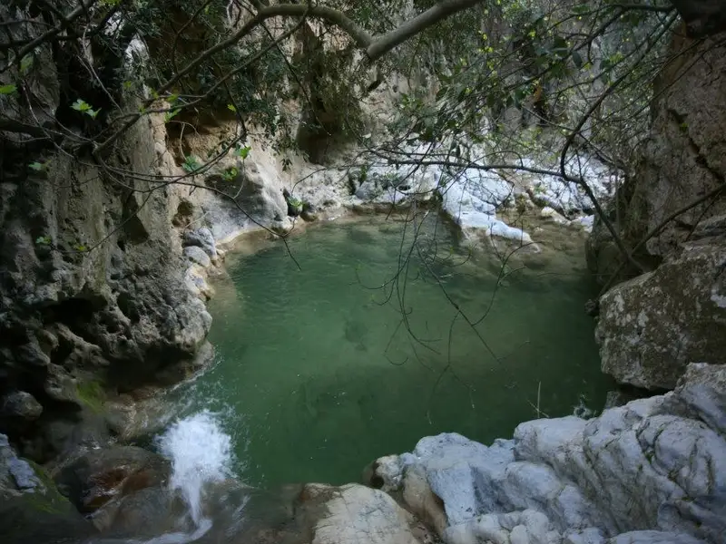
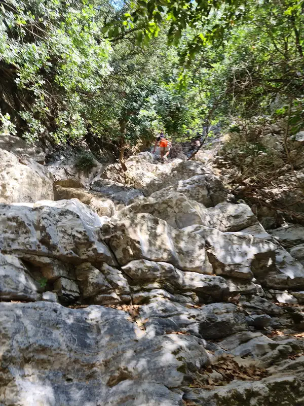
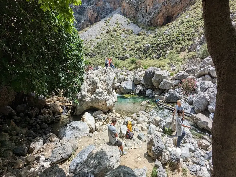
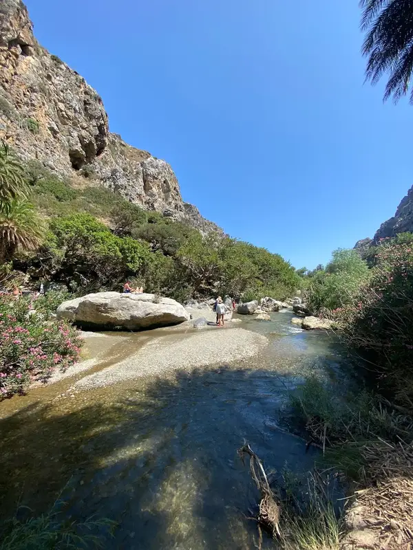
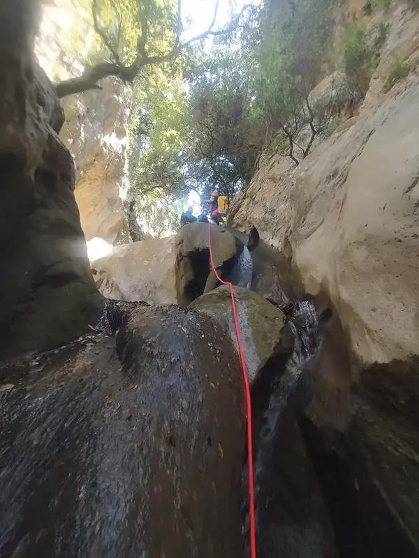
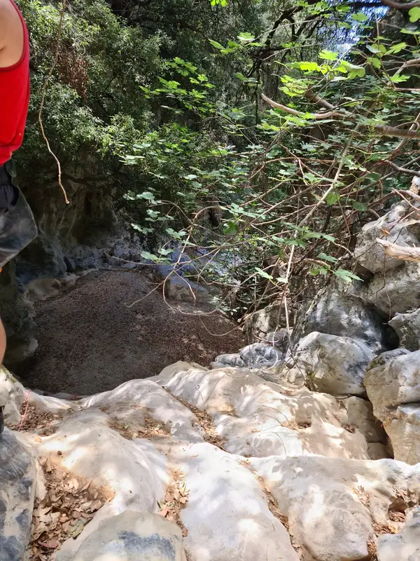
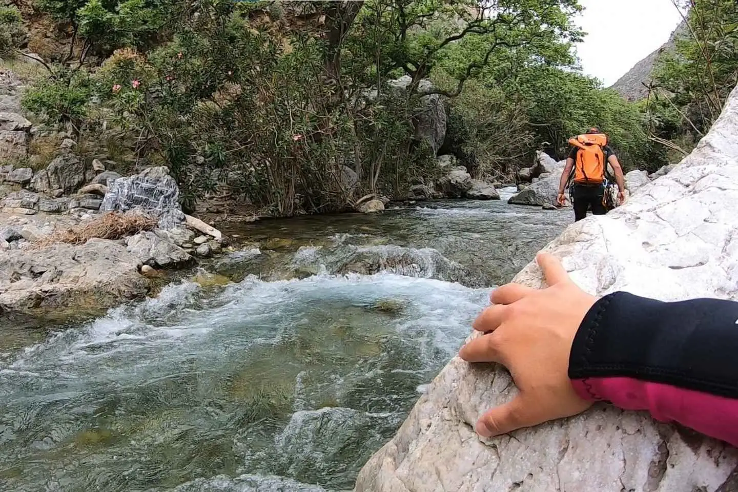
We continue down the river by splashing into natural pools and having fun next to the river’s shore. Passing by the amazing route down the gorge, you will see some plane trees around us, which create the perfect scenery – A place away from crowds – you will love.
After walking for about 2 more hours into the gorge, we finally reach an old olive grove, which is our exit point from the gorge. There we will go at a hidden paradise on earth called “Banana Garden” to have a refreshment and talk about our experience!
Overall, the Kourtaliotiko Gorge trek is a moderate hike that is suitable for most fitness levels. It offers a unique opportunity to explore one of the most stunning natural wonders of Crete and is sure to leave you with lasting memories.
Embark on a thrilling river trekking through the biggest gorge in Rethymnon, right in the center of the island of Crete.
Follow the river’s shore through special paths away from crowds with our experience guide and get the chance to explore the hidden forest of the gorge, splash into natural pools, and witness the huge waterfall that falls into the canyon.
Once we arrive above the gorge we will provide you with neoprene suits, helmets, walking sticks and after a short briefing about the route that we follow, we immediately start the adventure!
The first part includes an amazing view of the great waterfall! The flow never stops and the amount of water coming down from the mountains is simply amazing!
A small and safe jump will cool you up as the place is perfect for some instagramik pictures
We continue down the river by splashing into natural pools and having fun next to the river’s shore. Passing by the amazing route down the gorge, you will see some plane trees around us, which create the perfect scenery – A place away from crowds – you will love.
After walking for about 2 more hours into the gorge, we finally reach an old olive grove, which is our exit point from the gorge. There we will go at a hidden paradise on earth called “Banana Garden” to have a refreshment and talk about our experience!
Overall, the Kourtaliotiko Gorge trek is a moderate hike that is suitable for most fitness levels. It offers a unique opportunity to explore one of the most stunning natural wonders of Crete and is sure to leave you with lasting memories.
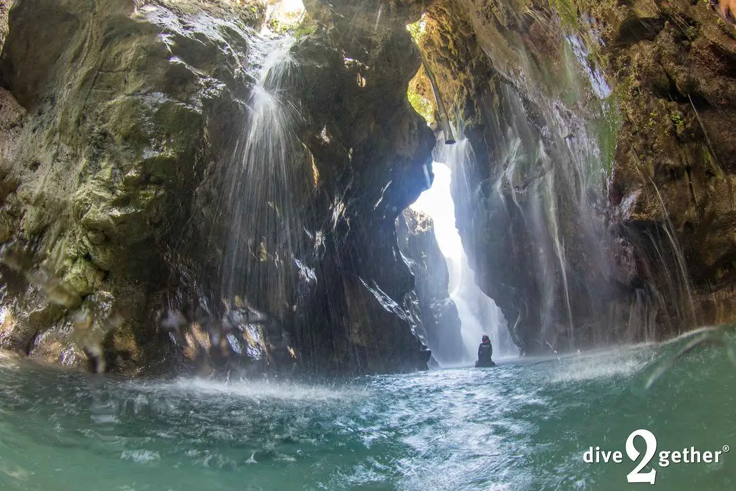
Join us for a unique experience to snorkel towards an all-year-round massive waterfall. Drinking water bursts out of the wall making this an incredible place to visit. In this experience we organize transport to the location, and we have a short hike to the water stream where it’s time to get wet. In the wetsuits we follow the stream upwards until a beautiful, but we mean, beautiful natural lagoon. From here we take the snorkels and swim further into the cave and reach the big waterfall.

Preparation and gear briefing
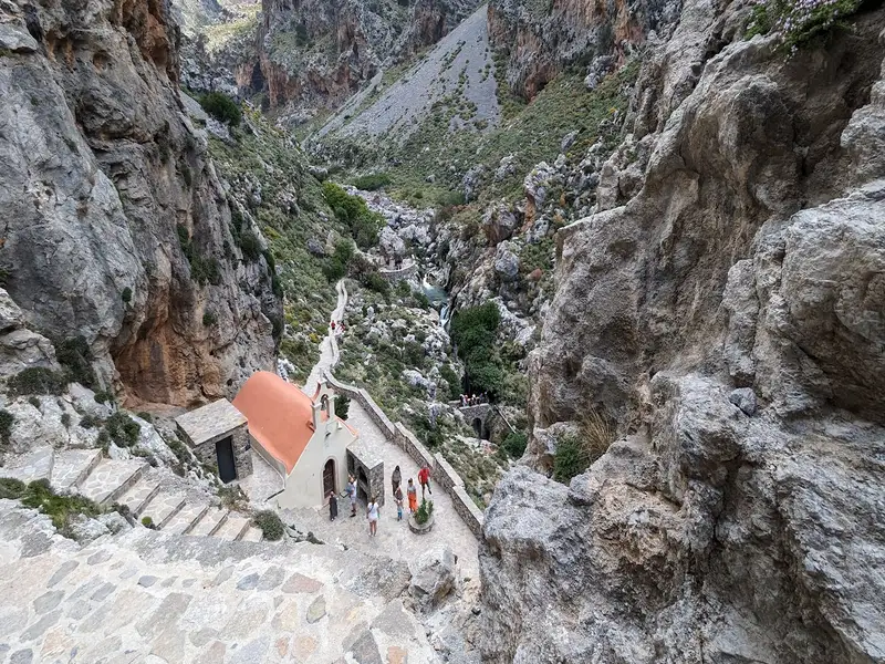
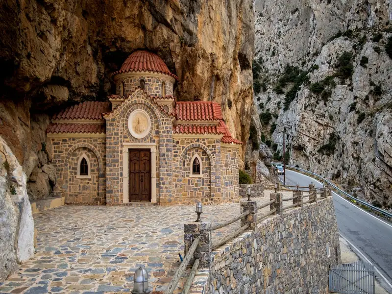
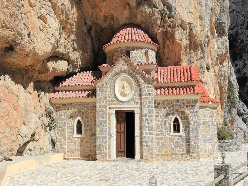
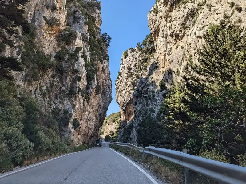
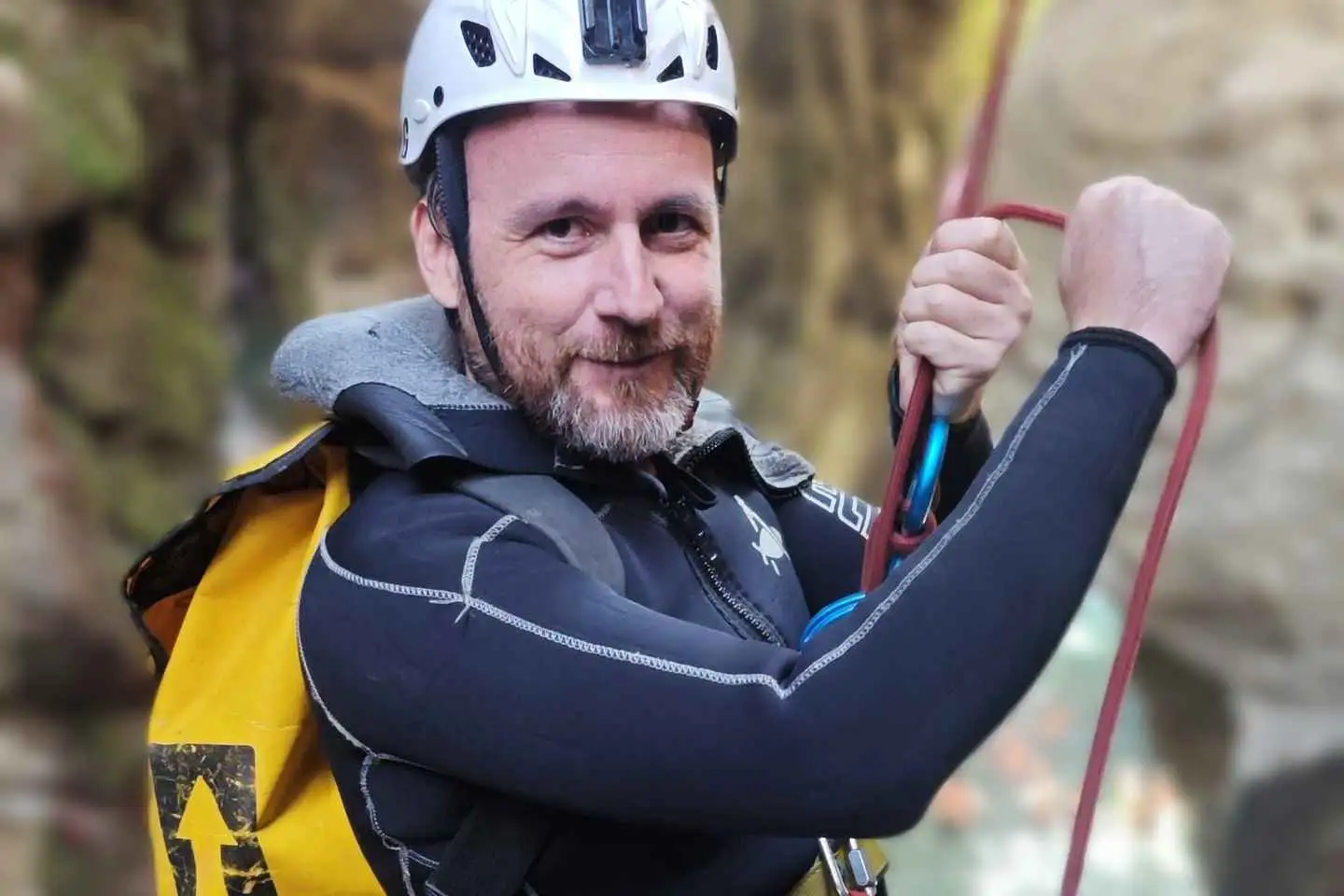
Arriving in the entrance of Kourtaliotiko gorge, we are immediately amazed by the majestic walls that stand hundreds of meters high. We take the stone steps that lead us to the source of the river that formed this scenery through the ages. There, we can visit the little church of S. Nicolas Kourtaliotis, the local saint that lived here as a hermit, and learn about the old myths of the gorge. We take some time to put on our neoprene suits and our personal gear, distributed by the team leaders. Then, the instructors will give a safety briefing so that we can understand the use of our gear and learn to trust it. Now we are ready to get the fun started!
Canyoning games in the river
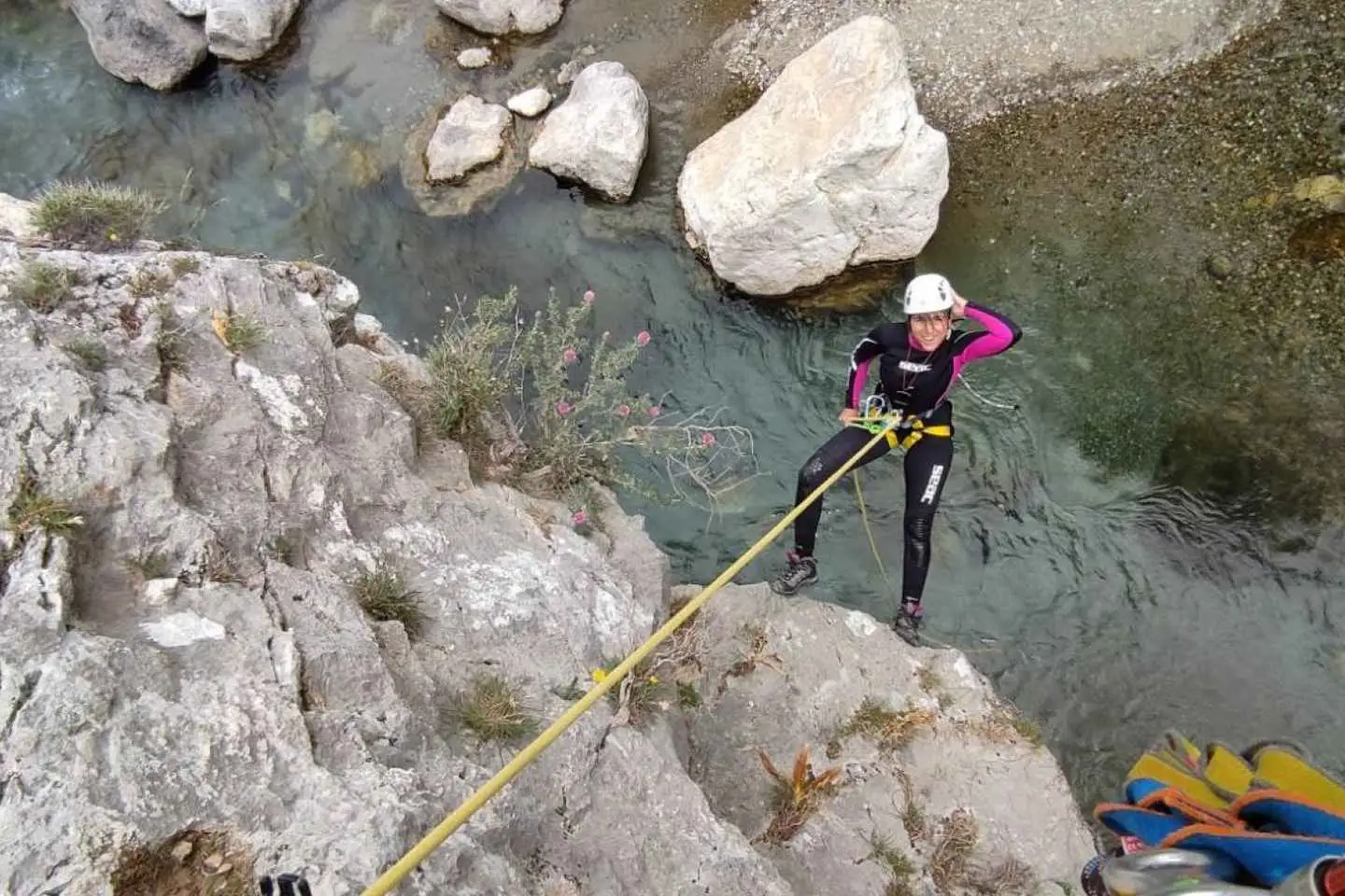
The source of Kourtaliotiko river becomes a natural playground for us! You are welcome to rappel down the steep canyon wall next to the waterfall and try adrenaline jumps in the water as many times as you wish. We swim around, we take pictures, and we play like kids. Our specialized instructors and guides will be next to you at all times to ensure your safety and guide you through the different activities.
Short river trek
Our adventure continues further down the river. Hiking towards the south, we soon discover a small cave called “the fairy cave” – if you are lucky enough, you may see one hiding behind the stalactites and stalagmites.
No results available
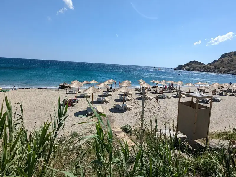
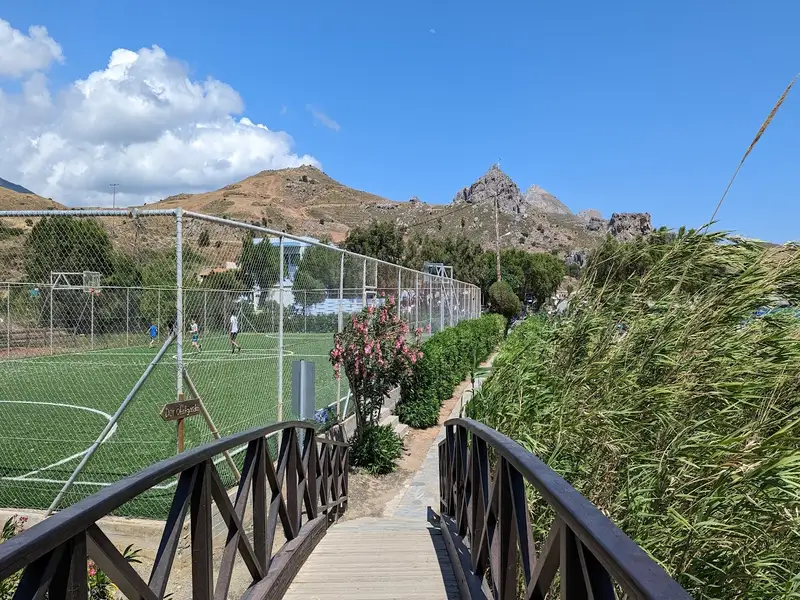
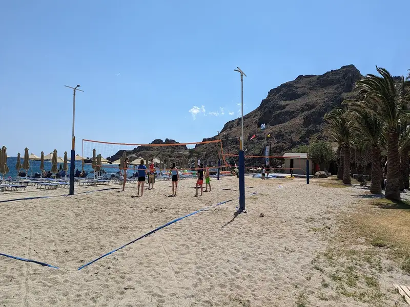
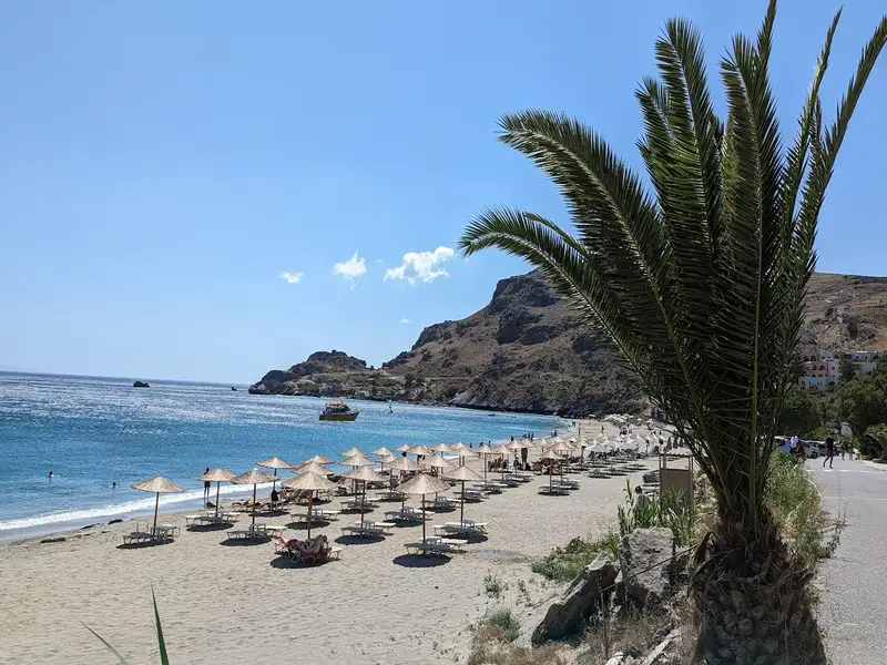
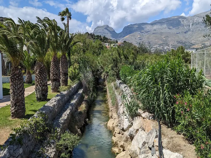
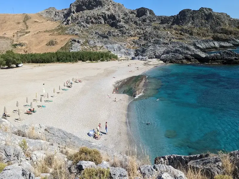
Situated 35km south of Rethymnon and 5km east of Plakias on Crete island, Damnoni beach is a well-known tourist destination. The resort is fully developed and well-structured, featuring a wide bay with turquoise waters and coarse, whitish sand. Visitors can enjoy numerous facilities including umbrellas, snack bars, showers, changing rooms, and water sports. Additionally, there’s a scuba diving centre, top-notch hotels, restaurants, and a horse-riding centre.
The westernmost part of the beach, which is highly organized, is home to a small river that maintains water nearly all year round. The eastern end of the beach is more serene and connects to the neighbouring Ammoudakii beaches via a short unpaved road. Beyond the western end of the beach, you’ll find several secluded small coves with sand and rocks, located right next to the area’s small harbour.
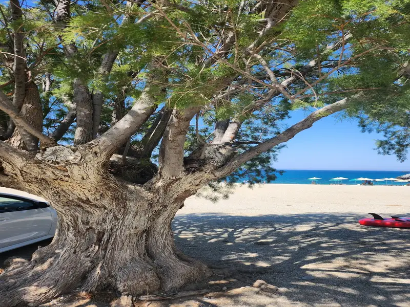
Ammoudi beaches are located 32 kilometers south of Rethymno and 5 kilometers east of Plakias village. Ammoudi beaches are accessible via a paved road from the village of Lefkogia. This road leads you directly to the first beach, Ammoudi, recognizable by its distinctive green slippery rock. Ammoudi beach has a slight organization, with available amenities such as umbrellas, nearby taverns and rooms, and even a scuba diving centre. Ammoudi Beach offers white sand, rocky seabed, and bright green waters, making it ideal for diving and snorkelling. There’s also the option to find shade and camp under the many tamarisk trees located next to the beach.
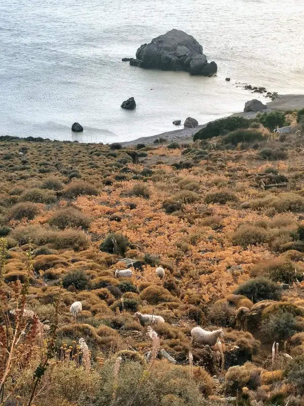
Heading west from Ammoudi, a dirt road begins that will take you towards Damnoni, passing by towering cliffs and impressive rocks. Just 200m west of Ammoudi, along this dirt road, you’ll discover a parking plateau that offers an unrestricted view of Damnoni. Here, you’ll see an enchanting miniature sandy beach, featuring turquoise waters and a unique rock in the sea. Known as Klisidi, this beach is an attractive choice when not crowded, though this is rare during peak season.
Adjacent to Klisidi, you’ll encounter the stunning nudist beach of Small Ammoudi or Ammoudaki. This small beach is popular among nudists for its turquoise waters and exceptional white coarse sand. It also has a small canteen offering umbrellas and sunbeds. On the beach’s west side, you can swim in a marine cave, where the sunlight turns the water a vibrant blue. You can easily walk on the sandy seabed. There’s also an underwater hole connecting Ammoudaki with Klisidi, allowing you to travel between the two beaches with just a dive. If you wish to reach the Ammoudi beaches on foot, simply walk east of Damnoni until you reach Ammoudaki.
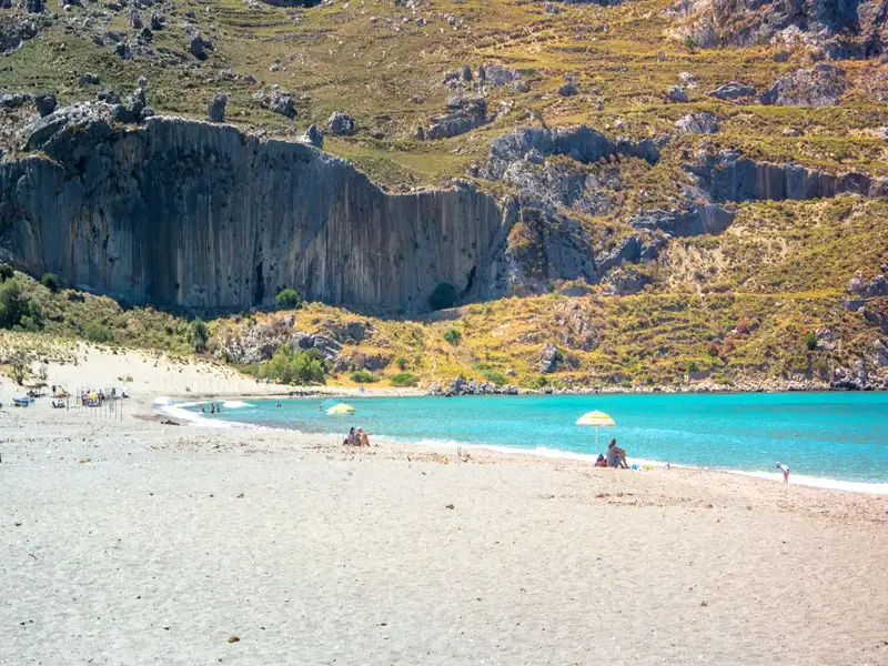
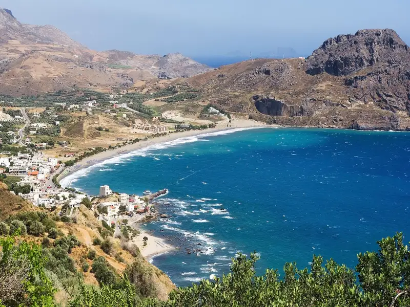
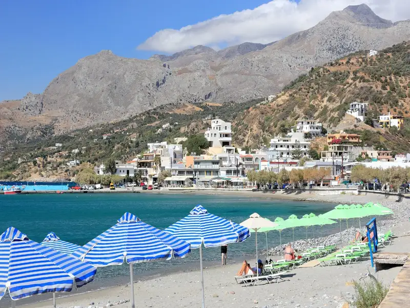
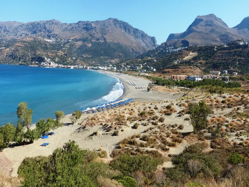
Situated 36km to the south of Rethymno city, Plakias is a charming tourist haven nestled at the mouth of a fertile valley just beyond the Kouroupa range, where the Kotsifos river meets the sea. It owes much of its popularity to the impressive Gialia beach, stretching for 1.3km from the edge of the town to the east, ending at Cape Mouri. This fully-equipped beach, characterized by its crystal-clear, cool waters, is an ideal location for leisurely walks or cycling along the adjacent road. It features numerous hotels and restaurants, as well as beach essentials such as umbrellas, water sports facilities, beach volley courts, snack bars, changing rooms, and showers.
Paligremnos, the eastern portion of the beach, boasts fine sandy shores and is well-appointed with various amenities close to local accommodation and eateries. Noteworthy are the tall, vertical cliffs nearby that prove to be a magnet for climbing enthusiasts. This spot, also known as “Gonates” (knees), is steeped in local lore; it’s said that the epic hero Digenis knelt here to drink from a local spring. An intriguing phenomenon takes place here every full moon from September to January, as the moon’s reflection on the sheer cliffs draws large squids to the beach, which locals catch with long sticks. A few meters south of Paligremnos, you can also discover tunnels once used for transporting coal to waiting cargo ships.
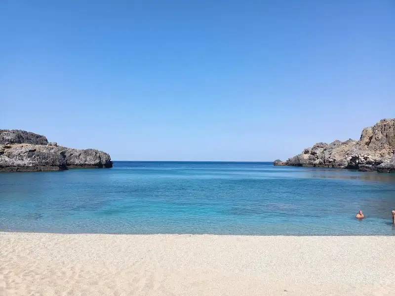
Skinaria Beach (also spelled Schinaria or Shinaria) is a small, secluded beach on the south coast of Crete, 33 km south of Rethymno and 3 km south of the village of Lefkogia, in the eastern part of the Plakias area. It is best known for exceptionally clear water over a rocky, marine-rich seabed, which makes it one of the finest snorkelling and scuba-diving spots in the region.
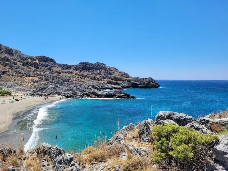
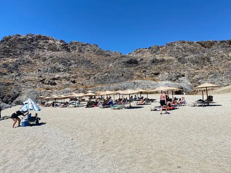
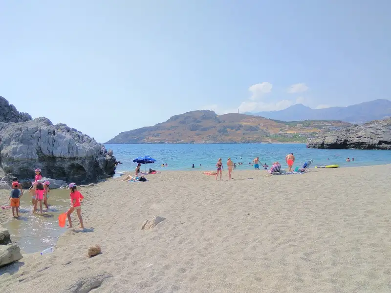
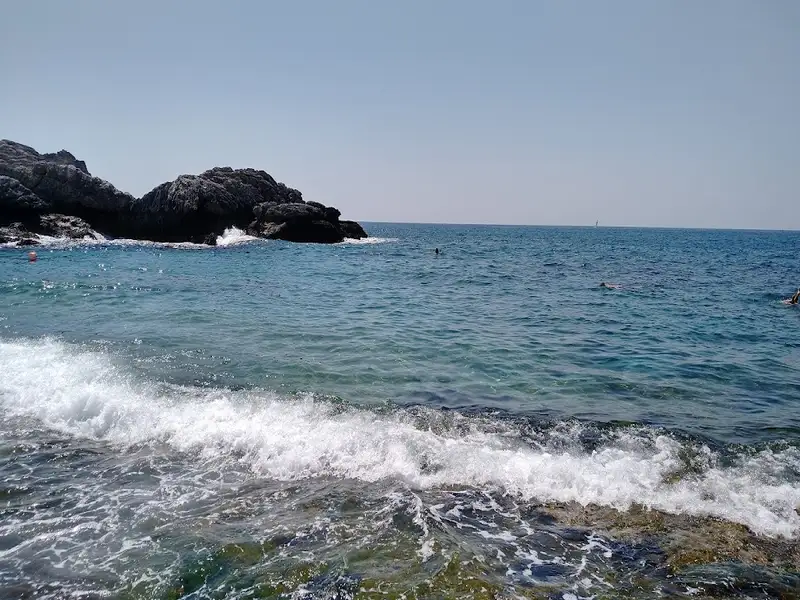
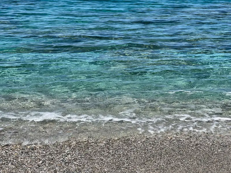
The beach has soft grey-beige sand mixed with fine pebbles and deep, turquoise water. The seabed is mostly rocky, while the northern part of the beach is sandy. Small freshwater ponds sit on the shore, fed by springs that carry water down from the surrounding mountains, and the lush vegetation around them gives the area a tropical feel. The bay is framed by rock on either side, so the sea surface usually stays calm and the entry is gentle.
Skinaria is quieter than Crete’s headline beaches. It sees far fewer visitors than nearby resorts, though the single tavern and the small car park can fill on peak-season afternoons.
Skinaria has one of the richest seabeds on the island, and its water is clear enough to see more than 40 metres horizontally. Snorkellers and divers share the water with morays, blackfish and octopuses, and divers often describe the rocky seabed as being like an aquarium. A scuba-diving centre operates in the area and draws visitors from across Crete, which makes the beach a reliable choice for a day in the water rather than only on the sand.
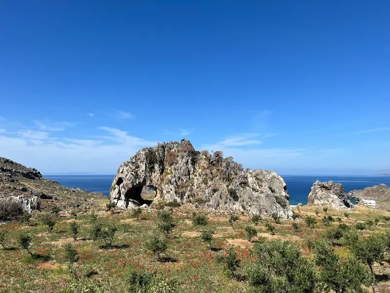
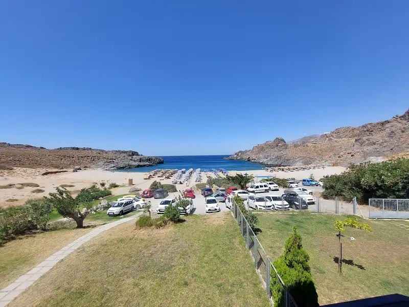
A narrow road runs down to Skinaria from Lefkogia, roughly 2 km, and the beach is signposted from the village. Along the way, look for a cylindrical cave set inside a rock on your left. There is no direct public bus to the beach, so most visitors arrive by rented car or taxi. A small parking area sits beside the beach; it is enough for beachgoers but gets cramped at peak times, so arriving earlier in the day helps. A rented car is also the most flexible way to reach Skinaria if you want to combine it with other stops in the Plakias area, and you can rent a car in Crete for the trip.
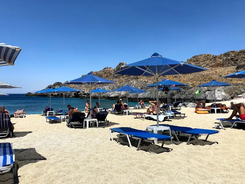
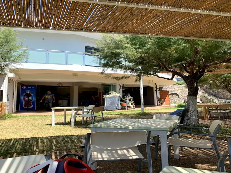
Skinaria is only slightly organised. A local tavern serves refreshments and traditional Greek dishes and offers a few umbrellas and sunbeds, which on our last visit were free with a purchase. There is little natural shade, so bringing water and sun protection is sensible. The calm, shallow-entry bay is safe for children, and naturists tend to use the left-hand side, which leaves the rest of the beach for families and other visitors.
Two nearby beaches are within a short drive: the Ammoudi beaches to the west, and the larger, better-organised Damnoni beach a little further along the coast.
Skinaria Beach is on the south coast of Crete, 33 km south of Rethymno and 3 km south of the village of Lefkogia, in the eastern part of the Plakias area. It faces the Libyan Sea.
To reach Skinaria Beach, drive the narrow road, roughly 2 km long, down from Lefkogia; the turn is signposted from the village. There is no direct public bus, so most visitors arrive by rented car or taxi. A small parking area sits beside the beach.
Yes. The water is exceptionally clear, often more than 40 metres horizontally, and the rocky seabed holds abundant marine life, including morays, blackfish and octopuses. A scuba-diving centre operates in the area, and snorkellers can see plenty from the surface.
Skinaria is only slightly organised. A single tavern serves refreshments and traditional Greek dishes and offers a few umbrellas and sunbeds. There is little natural shade and no large resort infrastructure, so bring water and sun protection.
Yes. The bay is sheltered by rock on both sides, so the water stays calm and the entry is gentle, which suits children. Note that naturists tend to use the left-hand side of the beach.
Skinaria is popular with naturists, who usually gather on the left-hand side. Other visitors and families settle on the rest of the beach.
The swimming season runs roughly from May to October, when the water is warm and the weather is settled. Spring and early autumn are quieter than the July-to-August peak.
Yes, there is a small parking area beside the beach. It is enough for beachgoers but fills up during peak season, so arriving earlier in the day is wise.
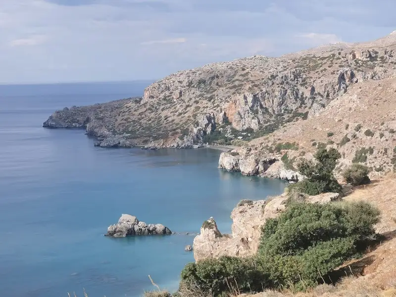
Ammoudi beaches lie a short distance to the west, and the larger, better-organised Damnoni beach is a little further along the coast. Preveli Beach, with its palm-lined river, is another well-known stop in the wider Plakias area.
No results available
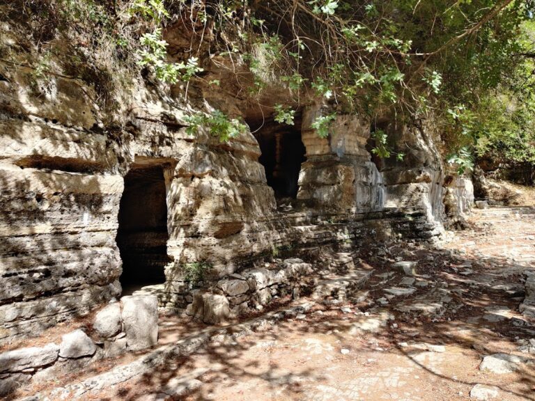
Ancient Lappa was built near the present-day town of Argyroupolis, situated 27km south of Rethymno. The area is now renowned for its springs with waterfalls, its old mills, and the lush green landscape that attracts thousands of visitors each year. Lappa, later known as Lappi or Lambi, is one of the towns believed to have been founded by Agamemnon in Crete. The citizens of Lyttos fled to Lapa after the massacre of Lyttos by Knossos. In 193 BC, Lappa became an ally with Teos, and in 183 BC with Pergamon.
The city thrived until 68 AD when the Roman general Quintus Caecilius Metellus destroyed it. It was later revived as a Roman town with special privileges at the end of the Roman Era. Its glory is reflected in the magnificent monuments that have been discovered and the coins minted. In the area, Roman baths and basilicas with mosaics have been identified, as well as inscriptions and statues of Zeus, Aphrodite, and Dionysus. The Cave of Agia Dynami also appears to have played a significant role, with its essential spring that gushes through the rock.
Additionally, near the village is the temple of the Five Virgins (Thekla, Marianna, Ethane, Martha, and Mary), who are believed to have died there. Beside it lies the Roman necropolis with carved tombs, in a green area with a water spring and a plane tree that has been designated as a natural monument.
After the arrival of the Arabs in Crete, the town and the Diocese founded by Apostle Titus were destroyed. During the Venetian period, the city passed from the hands of the Hortatsis family to Alexios Kallergis. It then thrived once more, which is strongly reflected in the splendid Venetian buildings of the village. The Turks called the town Gaidouropoli (i.e., Donkey Town) until 1822 when the rebels renamed it Argyroupolis. The General Assembly of Crete took place in Argyroupolis in 1867 and 1878, the year that Cretans declared the Union of Crete with Greece, though the attempt ultimately failed.
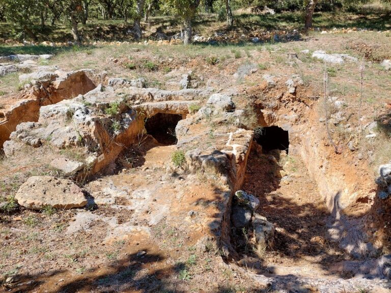
The Armeni Minoan necropolis is located 9km south of the town of Rethymnon, on the main road leading to the south coast of Crete. This significant Late Minoan III A-B (c. 1400-1200 BC) cemetery was found on a shallow hill called Prinokefalo, which translates to “hill of the wild oaks.”
Systematic excavations began in 1969, and by 2012, 231 tombs, including one tholos (domed grave), had been uncovered. A unique feature of the Armeni necropolis is that it initially had an overall plan, with specific areas designated for wealthy noblemen and the less fortunate. However, this plan was abandoned during the Late Minoan III B Period (1300-1200 BC), resulting in a mix of large and small tombs throughout the cemetery.
All the tombs were carved into the rock and consisted of a corridor and a chamber. The corridor was either a staircase or a ramp. Some tombs were left incomplete, with only a corridor and no burial chamber. The more affluent tombs had tombstones of varying sizes, with eleven found away from their original locations.
Each tomb likely represented a family group. Osteological (bone) analysis revealed that the average age at death for adult males and females was approximately 31 and 28 years, respectively. Most female deaths occurred between the ages of 20 and 25, likely due to the dangers of childbirth. Chemical analysis of bones indicated that the people buried at Armeni did not consume marine food, but their diet generally consisted of a fair amount of animal protein and plants. They suffered from various infectious and nutritional/metabolic diseases, as well as dental caries.
The primary discoveries in the tombs included clay larnakes, finely decorated pottery, bronze arms, utensils and ornaments, sealstones, and necklaces made from semi-precious stones. Among the most notable finds were a boar’s tusk helmet, a basket made of reeds and adorned with small bronze pins, a steatite pendant with Linear A script, and a stirrup jar with Linear B script (mentioning the name wi-na-jo).
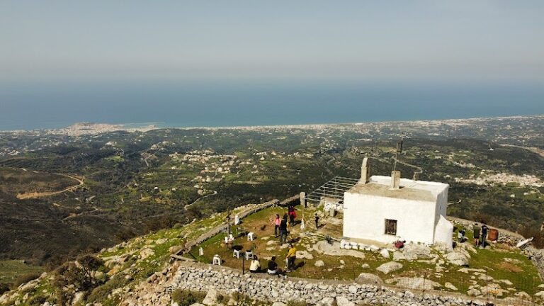
At the location of the chapel of Agio Pnevma (the Holy Spirit) on top of Mount Vrysinas, with an elevation of 858m, archaeologists have discovered what is likely the most significant Minoan Peak Sanctuary in West Crete, the peak sanctuary of Vrysinas. From this vantage point, one can see the northern coast of Rethymnon and the province of Agios Vasilios to the south.
Excavations at this open-air sanctuary have uncovered extremely important findings dating from 1900-1050 BC. The Minoans offered hundreds of zoomorphic and anthropomorphic clay offerings to their goddess. In 2011, a red steatite seal was discovered, engraved with the oldest known Minoan language, the hieroglyphic script. This is the only known example of this script in West Crete.
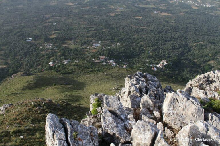
Above the Atsipades village in St Basil province, Rethymno, you can find a series of small peaks, with the highest being Kouroupa. The Kouroupa mountain range extends from west to east, separating the villages in the Agios Vassilios valley from the coastal settlements and creating a distinct climate. Kouroupa’s boundaries are well-defined, with two long and majestic canyons, Kourtaliotis and Kotsifos, marking its edges. Beyond Kouroupa’s peak, there are several smaller yet equally stunning peaks.
One of the most beautiful and unique peaks is Korakias, located just above Atsipades. The name Korakias means “the place with crows.” From a distance, Korakias appears impressive and peaky, with steep cliffs on each side and only the south side being easily accessible. This imposing, fortress-like location was chosen by the ancient Minoans as a peak sanctuary. Korakias was identified as a peak sanctuary in 1985, and its discovery has been announced in academic journals on several occasions. In 1989, Dr. Alan Peatfield excavated this peak sanctuary on behalf of the British School at Athens, and numerous papers have been published since then. A few artifacts from Korakias can be viewed at the Archaeological Museum in Rethymnon.
Unfortunately, there are no signs explaining the area’s history or providing directions to the site. Korakias can be reached via a rough dirt road starting from Atsipades, but the numerous side-streets can make identifying the peak difficult. However, the view from the peak sanctuary is breathtaking and stretches for several kilometers.
No results available
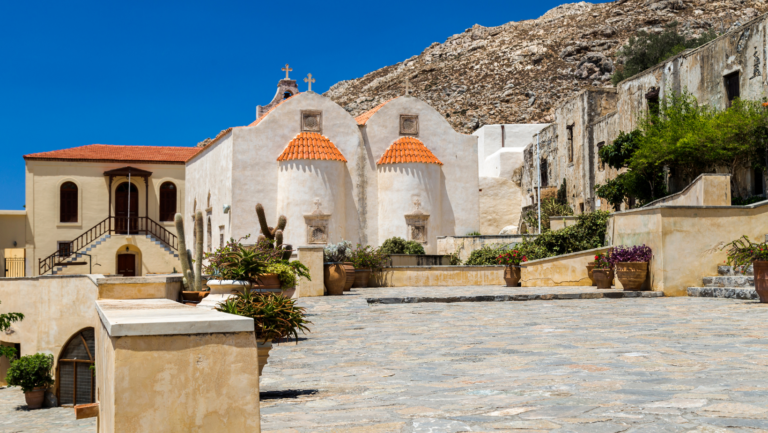
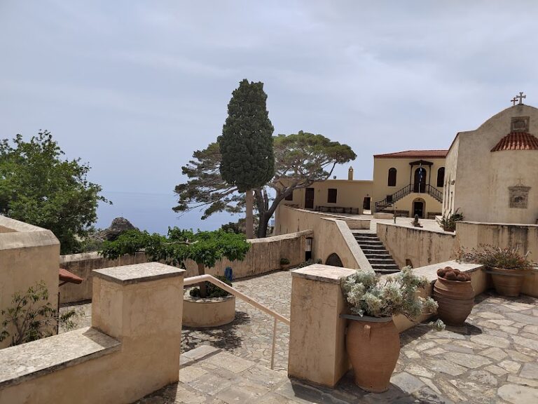
Preveli Monastery (also known as Prevelis Monastery) can be found 37km south of Rethymnon, nestled in a stunning natural landscape on the western slopes of Megalos Potamos (the end of Kourtaliotiko Gorge) and the nearby palm grove. The monastery complex consists of two separate monasteries situated 1.7km apart: the Kato (Lower) Monastery of Agios Ioannis Prodromos and the Piso (Back) Monastery of Agios Ioannis Theologos.
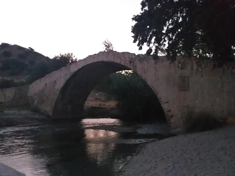
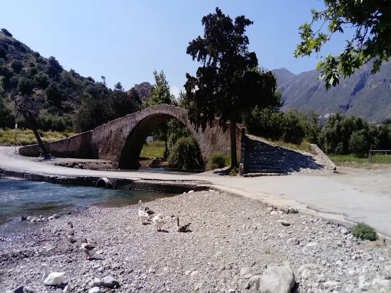
When approaching from Rethymnon, visitors first encounter the Kato Monastery of Agios Ioannis Prodomos (St. John the Baptist), which now lies in ruins. It is situated near the Megalos Potamos river and the region’s arched bridge. The monastery features an irregular arrangement of buildings centered around a courtyard, with the church of Saint John the Baptist at its heart. Surrounding the church are various structures that once housed the dining room, kitchen, abbot’s quarters, monks’ cells, an olive oil press, and storage rooms. The monastery was once in use year-round, as the surrounding land was ideal for cultivation and agriculture. However, it was eventually abandoned after being repeatedly destroyed and plundered by different conquerors of Crete.
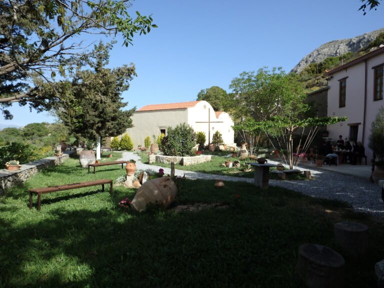
The Agio Pnevma (Holy Spirit) Monastery likely dates back to the 12th century and had already achieved autonomy and prosperity by the end of Venetian rule. Tragically, on June 15, 1821, local Turks slaughtered the monks and set fire to the monastery.
Subsequently, the damaged monastery became a subsidiary of the Preveli Monastery, and by 1836 it functioned as a widely known school throughout Crete and Gavdos, drawing thousands of students from all over the island.
In the present day, the monastery is home to a monument dedicated to the 200 volunteers led by Demetrios Petropoulakis, who lost their lives in a battle against the Turks on December 5, 1868. The monastery has since been restored and has resumed operations.
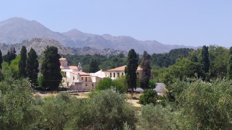
The Profitis Elias Monastery, situated on a hill with sweeping views 20km south of Rethymno and adjacent to Roustika village, is a relatively lesser-known monastery in Crete. Founded during the Venetian Era, it is among the island’s most historic convents.
Throughout its history, the monastery was repeatedly destroyed by the Ottomans, with the last instance occurring during the 1866 revolution. The monastery played an active role in the resistance against Turkish rule. Consequently, the monastery’s buildings, aside from the temple, were constructed in their present form after 1866. Additionally, Profitis Ilias made a significant contribution to preserving Cretan history by housing the Historical Archive of Crete during the German Occupation.
The monastery features a fortress-like architectural design. At the center of the courtyard, visitors will find a three-aisled basilica with a dome dedicated to Prophet Elijah (celebrated on July 20), the Holy Trinity, and Agia Zoni (August 31). The belfry of the monastery, along with that of Arkadi Monastery, are the only surviving Venetian bell towers in Crete. Surrounding the courtyard are the two-story monks’ cells, an incomplete guest house, and the refectory.
Within the temple, visitors can admire the ancient wooden iconostasis, the throne (dated 1843), and the pulpit. Additionally, numerous relics are housed in the sanctuary, including sacred vessels, vestments, gospels, crosses, relics of various saints, a brocade epitaph, old books (dating back to 1640), and manuscripts (from 1620).
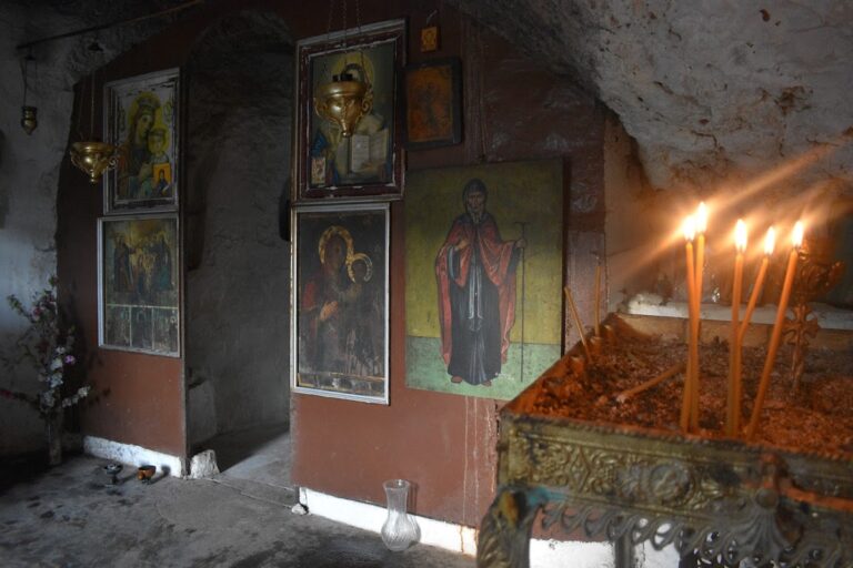
Located at Katevati, 6 km from Akoumia village and at an altitude of 525m, the Holy Monastery of St. Anthony (Agios Antonios) can be reached by a 15-minute car drive on a dirt road from Akoumia.
Constructed after liberation from the Germans in 1945, the monastery was rebuilt by Theodosius Damvakerakis, who spent around 50 years living as a hermit in the area. Until 1974, the location was home to a small chapel. The current monastic complex, complete with temples, monk cells, a courtyard, and ancillary areas, was established by Father Theodosius. Situated on his property at Katevati, the monastery houses the churches of Saint Anthony, Saint Nektarios, and Panagia (Virgin Mary). The most recent addition, the church of Saint Nektarios, features a massive icon representing all Saints. Meanwhile, the church of Panagia, built within a rock, contains the “Unwithering Rose” icon. The monastery’s celebration takes place on January 17.
No results available
No results available
No results available
No results available
No results available
Kakoperatos Canyon, situated near the village of Agios Vasilios in the province of the same name, is a tributary of the Megalos River (Kourtaliotis). Its name, which translates to “bad passage” in Greek, indicates the necessity of technical equipment for human access. This stunningly scenic and rugged canyon is perfect for canyoning. It is endowed with water for most of the year and features 7-8 remarkable waterfalls. These create deep ponds filled with clear turquoise waters, making them ideal for jumping.
It’s likely that no other canyon in Crete boasts such vibrant turquoise waters. The canyon’s exit is located adjacent to the last residences of Agios Vasilios, with its stream flowing through the village courtyards!
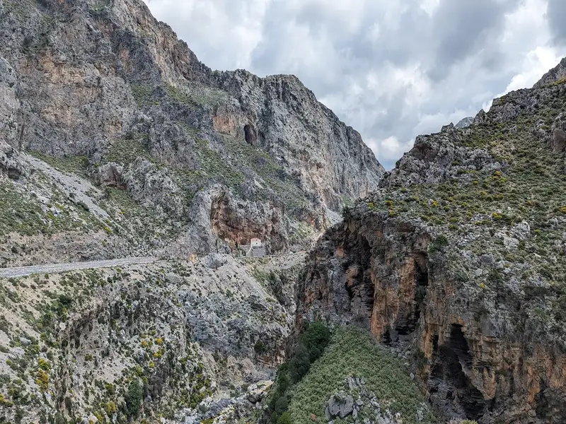
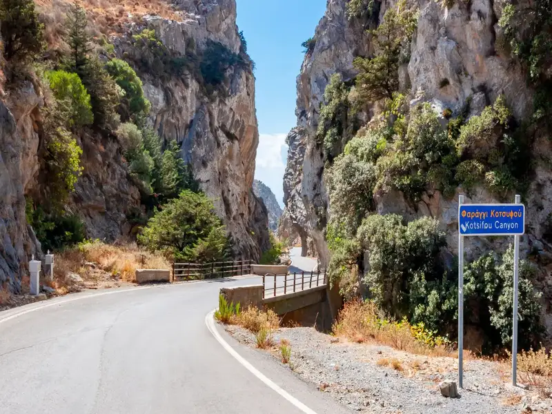
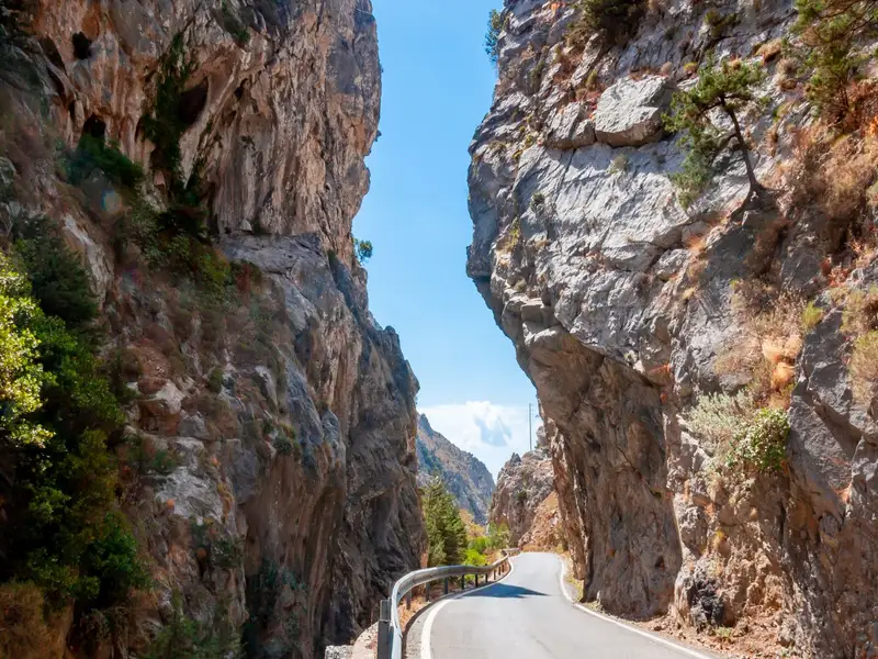
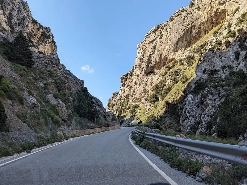
Kourtaliotiko Gorge is a hiking gorge 22km south of Rethymno, Crete, Greece, known for its waterfall, its year-round springs, and the chapel of Agios Nikolaos at the base of the cliffs. Kourtaliotiko Gorge runs for 3km between the Kouroupa and Koules mountains, and a paved road cuts through the canyon so you can reach the main viewpoints and the trailhead without a long approach. This guide covers what the gorge is, the waterfall and chapel, how to get there and park, the difficulty, what to see, and the tips worth knowing before you go.
The gorge of Kotsifos starts at Kannevos village and ends at Plakias. The starting point is very narrow with a width of about 10m, which gradually increases and reaches 600m. The total length is 1800m, and the almost vertical sides that reach a height of 600m. Inside the gorge, there is a small temple built inside a rocky cavity dedicated to Saint Nicholas.
Hiking in the upper part of the gorge (Kanevos – Bridge of Sellia).
Starting from the village Kanevos you can start hiking on the riverbed and reach the bridge that connects villages Selia and Myrthios (after about one hour of course). Along the way, there are large boulders that block the passage, but with a little attention, you can overcome them. At one point the side-gorge of Boutsinas meets Kotsyfos with an impressive waterfall of 20 meters. In summer the riverbed is dry.
Course in the upper part of the gorge (Bridge of Sellia – Plakias)
At the location of the bridge that heads to Selia, the canyon gradually turns into a wide valley. You can continue our course at the bottom of the gorge, along the riverbed. After meeting a modern temple, after 3-4 minutes you meet a dirt road that heads backwards (opposite the flow of the river). If you follow this road in a few minutes you will meet the springs of Kotsifos where a pond is formed (surrounding villages get water from here). From here onwards, the river has a water flow throughout the year emptying on the beach of Plakias.
The Swallow Gorge, situated 33km south of Rethymnon city, is in close proximity to the renowned Preveli beach, known for its magnificent palm grove and breathtaking river. The gorge begins from Kenda peak (881m altitude), passes through Drymiskos village, runs nearly parallel to the Kourtaliotiko canyon, and concludes at Drymiskiano Ammoudi beach. It gets its name from the swallows that flock here every summer.
Unlike Kourtaliotiko, this lesser-known canyon is dry during the summer but is still worth a visit. The vertical, awe-striking rocks and the verdant riverbed (which flows in winter) are a sight to behold. The winding Swallow Canyon is relatively easy to hike and doesn’t require any specific skills, despite not being marked.
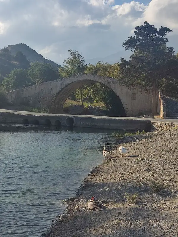
A significant portion of the canyon runs parallel to the road leading to Amoudi beach, which is where the easy trail to Preveli begins. To find this road, take a left at the picturesque arched bridge of Megalos Potamos that you’ll come across en route to the Preveli monastery. Therefore, even if you’re not much of a walker, you can still enjoy the beauty of the gorge during your visit to Preveli.
No results available
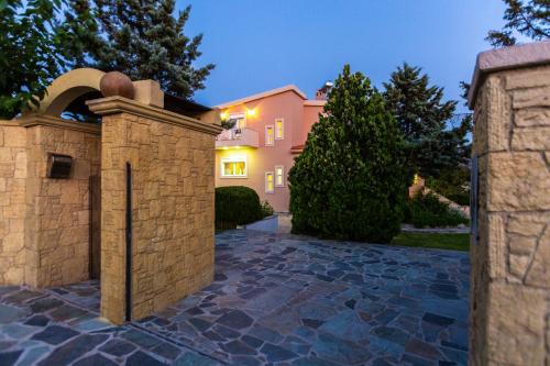
Featuring air-conditioned accommodation with a private pool, mountain view and a balcony, Olive Forest Villa is located in Koxaré. This property offers access to a terrace, free private parking and free WiFi.
The villa is equipped with 3 bedrooms, a flat-screen TV with streaming services and a fully equipped kitchen that provides guests with a dishwasher, an oven, a washing machine, a microwave and a toaster. Towels and bed linen are provided in the villa.
The villa offers a barbecue.
Archaeological Museum of Rethymno is 21 km from Olive Forest Villa, while Museum of Ancient Eleftherna is 41 km away. The nearest airport is Chania International Airport, 88 km from the accommodation.
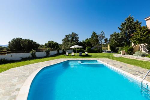
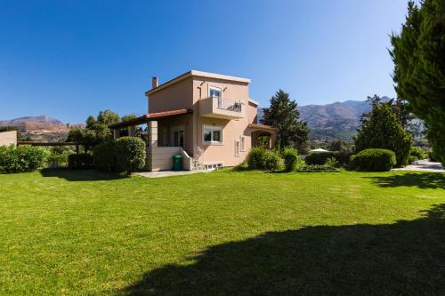
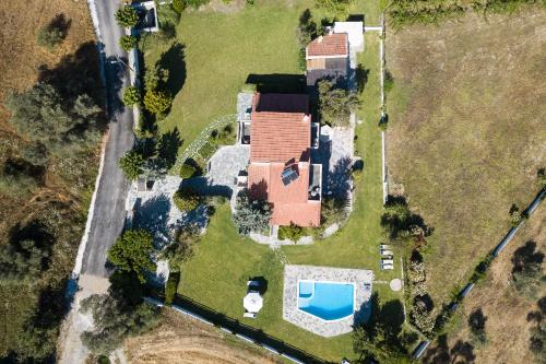
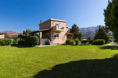
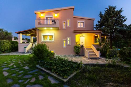
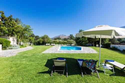
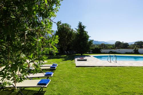
Surrounded by a 2.500-m² vineyard, Villa Aurora offers spacious accommodation with a fully equipped kitchen and a swimming pool with a separate children’s section. Located in the village of Koxare, it is 1 km away from Kourtalioti Gorge.
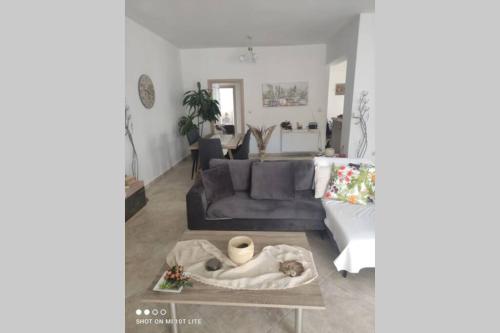
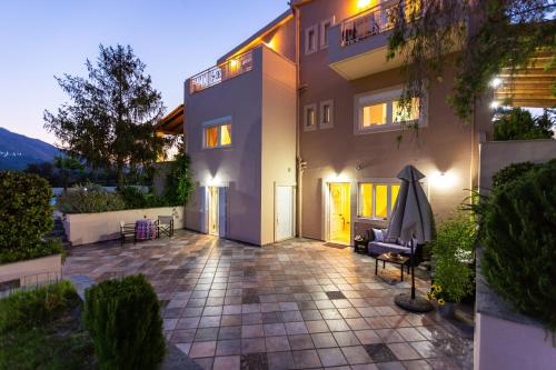
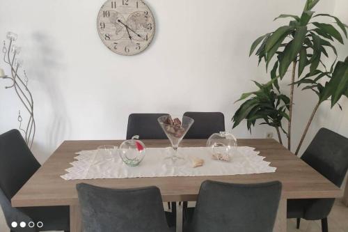
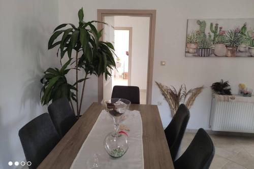
Opening to 2 furnished terraces, the 3-level Aurora villa enjoys views over the pool, the mountains and the garden. On the ground floor, there is a living room with fireplace, on the first floor there is a second living room with dining area and the kitchen, while the bedrooms are on the second floor. Facilities include a TV, DVD player and dishwasher.
The scenic town of Rethymno is 18 km away, while Plaka and the monastery of Preveli are at 15 km. Free WiFi throughout and free private parking are provided.
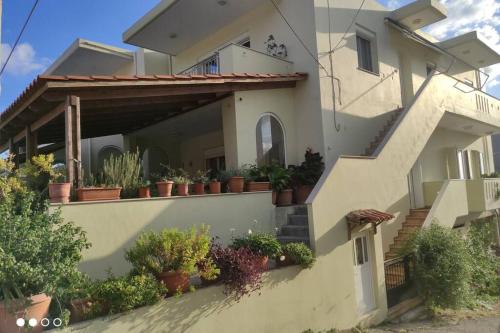
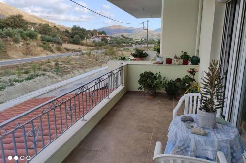
Boasting accommodation with a terrace, Breeze Holiday Home is situated in Koxaré. The accommodation is 19 km from the Archaeological Museum of Rethymno and features free WiFithroughout the property.
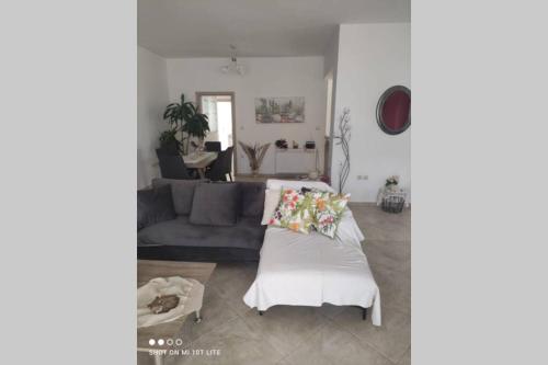
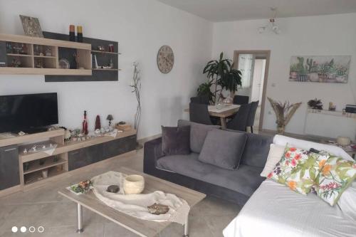
The apartment has 3 bedrooms, a flat-screen TV, an equipped kitchen with an oven and a microwave, a washing machine, and 2 bathrooms with a shower. Towels and bed linen are available in the apartment.
Psiloritis National Park is 41 km from the apartment, while Museum of Ancient Eleftherna is 42 km from the property. The nearest airport is Chania International Airport, 86 km from Breeze Holiday Home.
from
€59
/night
Set amidst a blossomed garden and covering an area of 800 sq.m., the stone-built Kefali Villa, eco tourism experience, By ThinkVillage is a villa situated in Atsipádhes. It features a private, outdoor pool, a hot tub and a furnished sun terrace. Free WiFi is provided throughout.
Boasting views of the mountains, the traditionally decorated villa has 6 bedrooms, 4 bathrooms, a fully equipped kitchen and a living room. Facilities include a dishwasher, a microwave, a flat-screen TV and a washing machine.
Guests can relax at the sun loungers by the pool or use the BBQ facilities available in the garden and enjoy al fresco dining.
Rethymno Town is 16 km from Kefali Villa, eco tourism experience, By ThinkVillage, while Georgioupolis is 36 km away. Preveli Beach lies within a 30-minute drive and Plakias Beach is a 20-minute drive away. Chania International Airport is 85 km from the property.Free private parking is available on site.
from
€336
/night
No results available
Connect with thousands of Crete visitors and boost your bookings.
No results available
© All rights reserved. Crete Locals