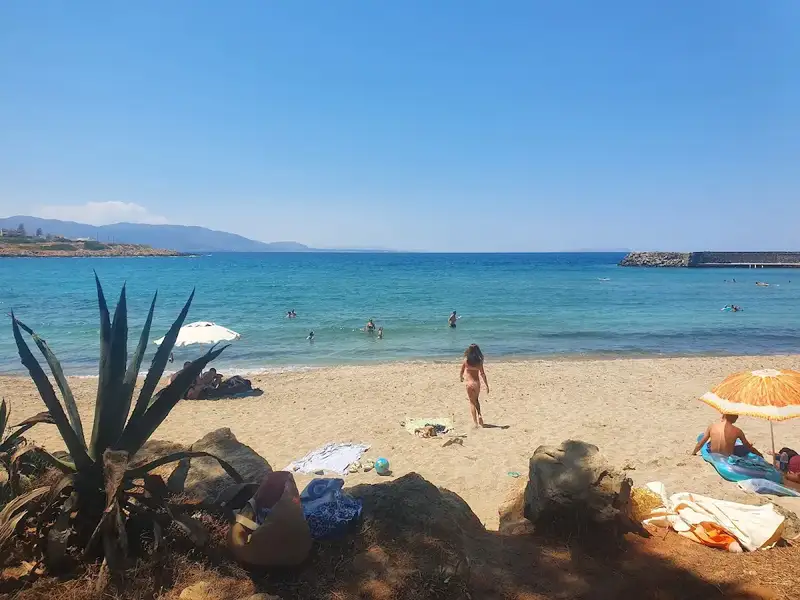
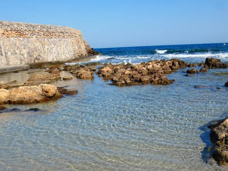
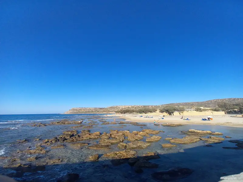
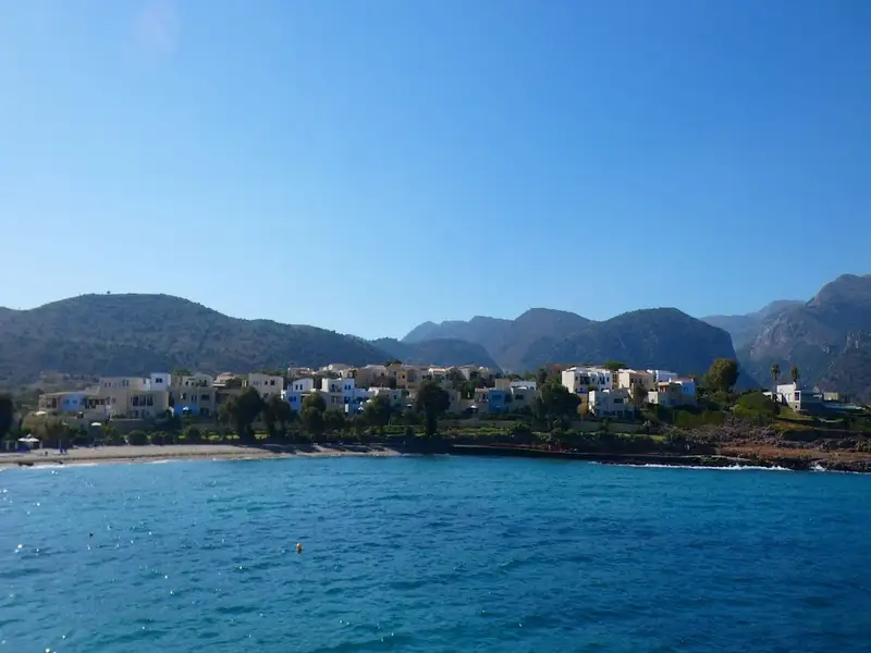
Find a beach with Rocks in places near you
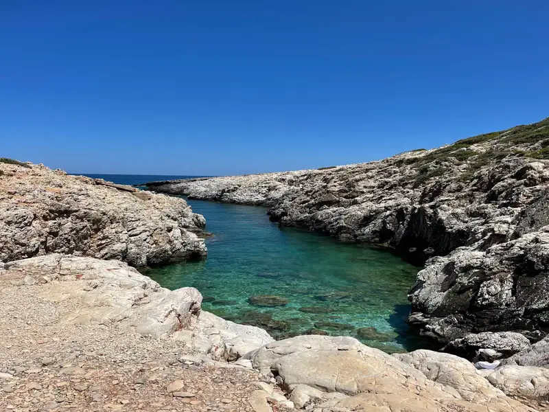
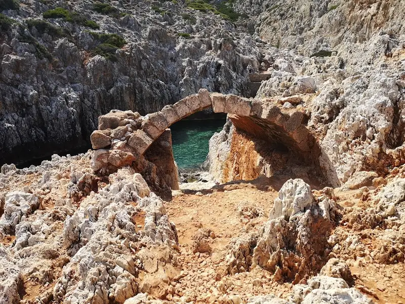
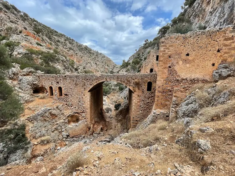
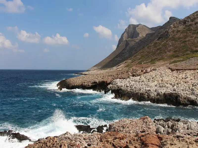
Katholiko Bay, nestled in northwest Crete, is just a 30-minute drive from Chania. This captivating destination promises an adventurous hike that showcases numerous caves, a historic abandoned monastery, a stunning Avlaki gorge, and finally culminates at the picturesque Katholiko Bay. This beach once served as a port for the Katholiko Monastery, where monks used to dock and mend their boats. Its strategic location also made it a prime target for pirate invasions, leading to the monastery’s abandonment in the 16th century.
To embark on this adventure, start at the Gouverneto Monastery. A 30-minute trek will lead you to the deserted Katholiko Monastery. Venture below the bridge, traverse the Avlaki gorge, and in another 20 minutes, the mesmerizing beach awaits. While it’s a rocky haven devoid of sand, the crystalline waters more than compensate. With towering cliffs enclosing the beach, it’s an ideal spot for cliff-diving enthusiasts. Note that the area lacks shade, but there’s a quaint cave on the mountainside for some respite.
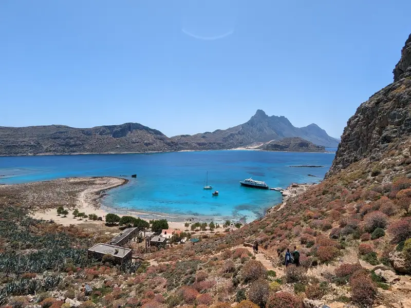
The island of Imeri Gramvousa is located 20km northwest of Kissamos, opposite the imposing Cape of Gramvousa and 2 miles northwest of the famous lagoon of Balos.
Its historical significance is captured by the majestic Venetian fortress that remains standing 137m above the beach. This fortress is not just a relic of the past but also an icon of pirate legends, which suggests a buried treasure somewhere on the island. An old shipwreck, long deserted near the beach, has become an integral element of Gramvousa’s unique panorama.
Two sizable bays on the island’s southern flank cradle the iconic shipwreck between them. The western bay, situated below the castle, is a popular destination for hundreds of daily visitors who arrive via excursion boats from Kissamos, a journey that takes an hour. These boats make a stop at Gramvousa before heading onward to the stunning Balos Beach.
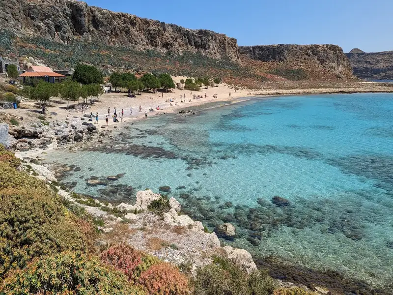
Visitors have the chance to explore the castle and shipwreck, as well as indulge in a refreshing swim in the crystal-clear waters of the western cove, adjacent to the Holy Apostles Church. The beach, known for its mesmerising turquoise hue, features a mix of white sand and occasional rocky spots. Tamarisk trees near the beach provide a natural shade, while the area’s seabed is a snorkeler’s delight. Excursion boats provide food and water from onboard bars. Due to the area’s protection under the Natura 2000 program, no additional facilities are available, and overnight stays are prohibited.
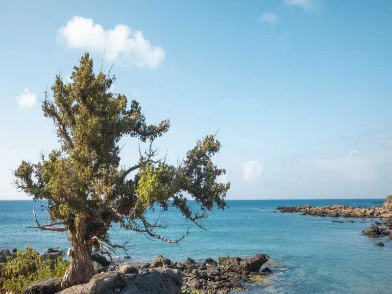
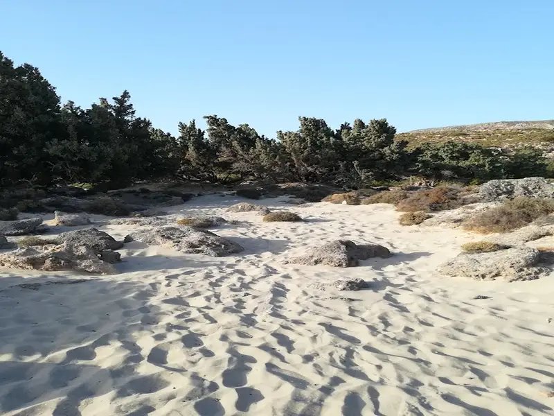
Kedrodasos beach, named for its distinct juniper forest, is a stunning beach located 76km southwest of Chania and just 1km east of the famous Elafonissi lagoon. This beach is dotted with enchanting juniper trees, often confused for cedars, that are beautifully tucked in between sandy dunes. Included species are the twisted Juniperus oxycedrus subsp. macrocarpa and Juniperus phoenicea. Visitors are encouraged to treat these delicate trees with kindness and care.
Covering an impressive area of around 11 hectares, the juniper forest offers a magnificent view. The beach is an ideal spot for swimming and is a favorite among naturists. It features a diverse landscape of white sand and occasional flat, smooth rocks. A lack of nearby amenities emphasizes the secluded allure of Kedrodasos, maintaining it as one of the last untouched havens in Europe. Visitors are encouraged to leave nothing behind, ensuring the beach stays clean and untouched.
Kedrodasos Beach is recognized as a nudist-friendly location, attracting naturists who appreciate the freedom of clothing-optional sunbathing. Its remote and pristine surroundings create an ideal environment for those seeking a more unrestrained and natural beach experience. Visitors will find sections of the beach where they can comfortably embrace nudism in a welcoming and non-judgmental atmosphere.
Acting as a shield from the regular winds of neighboring Elafonissos, Kedrodasos offers a relatively serene sanctuary. The beach also serves as a stopover for the European E4 trail, with yellow and black markers indicating the way.
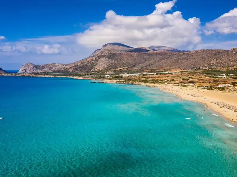
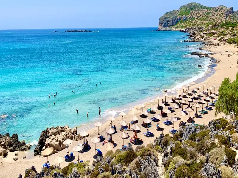
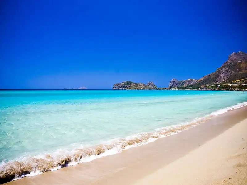
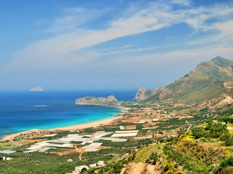
Falassarna is a run of five consecutive beaches on the north-west tip of Crete, about 59 km west of Chania and 17 km west of Kissamos at the western end of the Gramvousa peninsula. Falassarna has been voted the best beach in Crete and named among the ten best in Europe, and the ruins of the ancient Greco-Roman city of Phalassarna sit at its northern end. The area spreads across a wide bay, and the two central beaches draw the most visitors.
The sand at Falassarna is whitish to golden, which gives the shallows a bright, tropical, turquoise colour. Close to the shoreline the sand often carries a faint pink tint, from tiny crushed shells mixed through it, and the tint shows most when the sand is wet. The main beach faces due west, so the sea is usually lively and can turn wavy on windy afternoons, a trait that windsurfers and kitesurfers prize. On calm days the water is clear and easy for swimming.
Falassarna is not one beach but five, set side by side along the bay:
To reach Falassarna beach the easy way, drive the scenic road through olive groves from Chania, which takes about 1 to 1.5 hours and ends at large parking areas next to the main beach. Renting a car lets you pair Falassarna with the quieter coves and the ancient site nearby, which you can arrange through car rental in Crete. Without your own transport, take the KTEL bus from Chania or Kissamos, which runs several times a day through the summer and takes roughly 1 hour 30 minutes from Chania.
The best time to visit Falassarna is from May to October, when the weather is warm and the beach bars and tavernas are open; from November to April most businesses close, though you can still reach the beach by car. Come in the late afternoon and stay for the sunset, which is considered the best in Crete because the open western horizon lets you watch the sun sink straight into the sea.
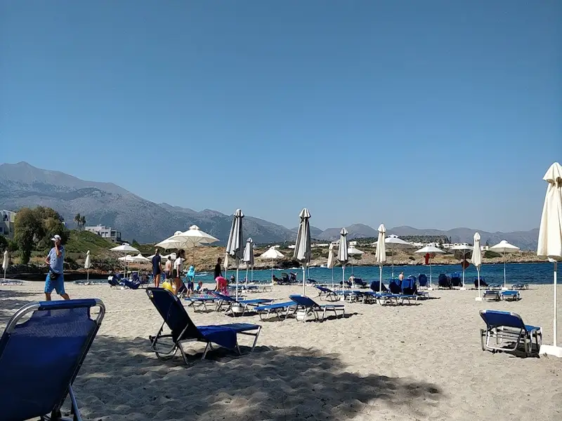
The main beach, Pachia Ammos, is a Blue Flag beach and the organised part of Falassarna, with sunbeds and umbrellas, snack bars and tavernas, water sports and a beach volleyball court; lifeguards cover the busier sections in summer. It is one of the island’s Blue Flag beaches in Crete. The northern coves and the southern pebble beaches have few or no services, so bring water and shade if you head to the quieter ends. The whole bay sits inside a Natura-protected nature reserve.
Ancient Phalassarna was a Dorian port city at the northern end of the beach that grew into a strong regional naval power by the 4th century BC before the Romans destroyed it. A later earthquake lifted the coastline several metres, so the ancient harbour now sits on dry land, and excavations that began in the 1960s have uncovered walls, tombs and a stone throne.
Falassarna beach is on the north-west tip of Crete, about 59 km west of Chania and 17 km west of Kissamos, at the western end of the Gramvousa peninsula.
The easiest way to reach Falassarna is by car, about 1 to 1.5 hours from Chania through olive groves, with large parking areas by the main beach. A KTEL bus also runs from Chania and Kissamos several times a day in summer, taking roughly 1 hour 30 minutes.
Falassarna is known for its long white-sand main beach, clear turquoise water and its sunset, which is rated the best in Crete. It has been voted the best beach in Crete and among the ten best in Europe.
The sand is mainly whitish to golden with a faint pink tint near the shoreline, from tiny crushed shells. The pink is softer than at Elafonisi and shows most when the sand is wet.
Yes, the main beach shelves gently into shallow water that suits children, and the organised section has sunbeds, food and water sports. The beach faces west, so it can get wavy on windy days; keep an eye on young swimmers then.
No, Falassarna is a free public beach. You pay only for extras such as a sunbed and umbrella set or food and drinks.
The best time to visit is May to October, when the beach is warm and the bars and tavernas are open. Late afternoon is ideal, so you can stay for the sunset.
Falassarna faces due west and is exposed to the west wind, so the sea is often lively and can turn wavy on windy afternoons. Those conditions make it a favourite with windsurfers and kitesurfers.
The main beach has sunbeds and umbrellas, snack bars and tavernas, water sports and a beach volleyball court, and it flies a Blue Flag. The northern and southern coves have few or no services, so bring your own water and shade there.
Yes, Falassarna is made up of five beaches side by side: the main Pachia Ammos, the quieter 800 m north beach, a small south-facing cove by the ancient site, sandy Livadi to the south, and a pebbly beach near the small harbour.
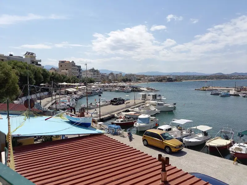
Sissi, also known as Sisi, is a tranquil traditional seaside village nestled 26km west of Agios Nikolaos and 41km east of Heraklion, not far from Malia. The village is renowned for its natural harbour, characterized by tranquil deep green waters, and its charming taverns nestled within narrow streets. The Sissi coastline is predominantly rocky, with only a few sandy stretches. The sea around here is typically choppy, making the only calm swimming spot the small beach within the harbor (Limani). This petite beach offers a few umbrellas and showers for visitors.
If you desire to explore other beaches, you can travel east to Harkoma bay, home to the well-kept Boufos beach. This sandy beach is exposed to the wind. Adjacent to it, you’ll find the smaller Avlaki beach, situated at the exit of a narrow bay.
Moving further east, you’ll find the sandy Kalimera beach, located in front of the Kalimera Kriti hotel. Managed by the hotel, the beach is well-organized and boasts of shallow waters, making it perfect for children. On the opposite side of the hotel is Spiliada, the last beach within the Sissi territory. Spiliada is a sandy beach shaded by numerous tamarisk trees, offering a more peaceful atmosphere compared to the other beaches.
Nea Chora, a picturesque sandy beach, lies just a kilometer west of Chania city center along Akti Papanikoli Street, opposite the Lazaretta islet. A short 15-minute stroll from Chania’s old harbor, this beach boasts a well-maintained main area with several facilities at hand. While mostly sandy, Nea Chora also features rocky patches. It’s the perfect spot for those who prefer to stay nearby the city center. East of the beach, you can still spot the old soap factory’s towering chimney and the former sanatorium of Chania. Nea Chora is a favorite among locals for its seafood taverns, but there are also plenty of restaurants, snack bars, and cafes to choose from. Every summer, the beach hosts the “Sardine Festival”, complete with traditional music, dancing, and free fish for attendees.
Kladissos beach
Further along the river Kladisos, a second beach unfolds all the way up to Aptera beach. Kladisos beach is a lengthy sandy bay, interspersed with pebbly areas. Despite its proximity to Chania and its appealing beauty, the beach remains relatively secluded and unspoiled. The simplest way to access this beach is by crossing the Kladisos river via the pedestrian bridge.
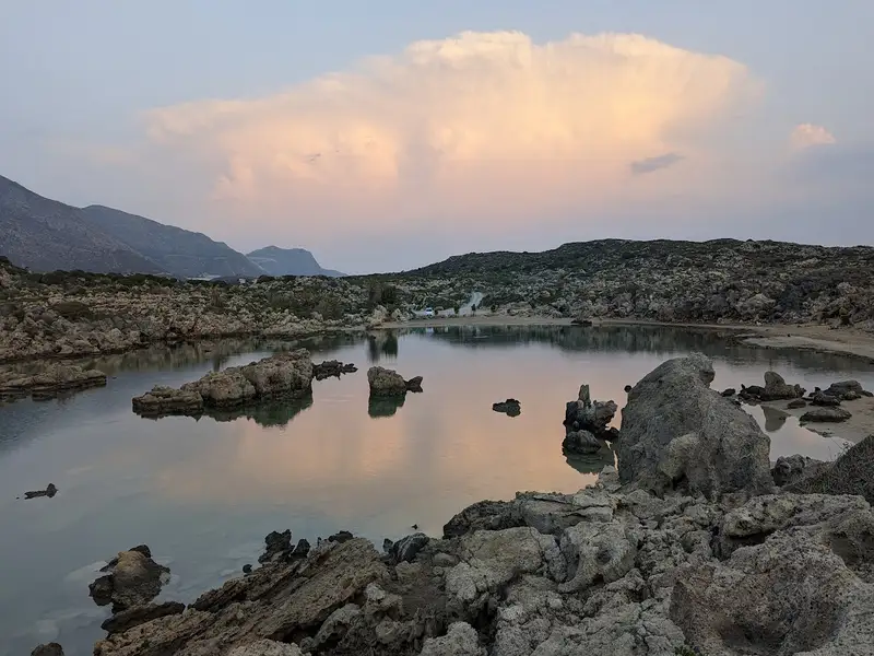
Aspri Limni, translating to ‘White Lake,’ is one of Crete’s most remarkable and yet little-known beaches. Located a mere 500 meters west of Chrysoskalitissa Monastery and 70 kilometres southwest of Chania city, it’s a hidden gem just waiting to be discovered. While many flock to the nearby popular lagoon of Elafonissi, Aspri Limni remains largely unexplored, its beauty preserved in its pristine condition.
The beach, adorned with fine white sand and occasional rocks, is enveloped by jagged cliffs, creating the illusion of a tiny pale lake within the sea. Undisturbed by commercial tourism, Aspri Limni retains its pure and untouched charm, although it lacks natural shade.
To reach Aspri Limni, take a right turn in Chrysoskalitissa village and follow the signs leading to the small Phoenix Theophrasti (Cretan Date Palm) habitat located around the lake. If unsure, any local will be able to guide you to this hidden beach.
Protected under Natura 2000 due to its significance as the westernmost habitat of the endangered Phoenix Theophrasti, Aspri Limni holds environmental importance. This palm species is also found in other groves in Crete such as Vai, Preveli, Agios Nikitas, Souda, and in smaller colonies in South Turkey. Among these, Vai hosts the most extensive palm grove.
Menies, also known as Diktynna, is situated 45 kilometers northwest of Chania, on the northeastern coast of the Rodopos Peninsula and at the mouth of the Foundas Gorge. This secluded beach is characterized by its pebbles and the deep, crystal blue of its waters. Protected from the prevalent winds in the region, Menies offers a haven of solitude, far from the hustle and bustle of city life. With no signs of modern civilization for miles, visitors are advised to come prepared with all necessities. The journey to Menies beach can be challenging, as it involves a 23-kilometer ride on a dirt track, beginning from the village of Rodopos. This road, though unpaved, leads to the beach but isn’t suitable for low-slung vehicles. An alternative route to Menies is via small boats that depart from Platanias harbor.
Menies sits on the historical site of ancient Diktynna, which was the primary temple of the goddess Vritomartis, the Cretan counterpart of Artemis. This sanctuary used to draw worshippers from all over the island, who would travel via a road that linked the sanctuary to the town of Polirinia. Some sections of this paved road are still intact across the Rodopos peninsula. Vritomartis was worshipped here during the Hellenistic and Roman periods. Today, a few remnants of the ancient Roman temple can still be seen, although no traces of the Hellenistic temple have been discovered.
Roughly one kilometer southwest of the beach, visitors can explore the ancient monastery of St. George, constructed in the 9th century. The monastery was later abandoned during the pirate invasions, but the 16th-century lookout tower used to spot incoming pirate ships can still be seen in the monastery’s courtyard.
Several small bays can be found between Menies and Afrata, formed at the mouths of small streams and accessible either on foot or by boat. The most picturesque of these is Xeronissia, situated beneath the Saint George monastery.
Among the premier beaches in central Crete, the Melissa Cape Sandhills shine bright. Situated near Agios Pavlos, at the southern tip of the expansive Akoumiani Gialia coastline, this stunning location is approximately 55km south of Rethymno city. It’s framed by the beautiful Cape Melissa to the south, the Akoumianos river, and the Triopetra beach to the north. The deep sea here beckons swimmers, and the area’s secluded nature often leads to a variety of beachwear or a lack thereof. Locally, the beach is also known as Alatsogremi or “salt cliffs”.
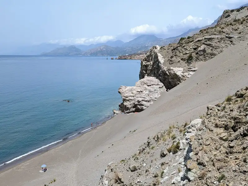
The Melissa Cape Sandhills, arguably the most scenic beach in the Rethymnon prefecture, boast massive sand dunes nestled amidst a majestic, untouched landscape. A few scattered umbrellas offer shade, although natural refuge can be found in the rocky caves mid-beach. Despite its generous expanse, the beach rarely feels crowded, even allowing for nude bathing during peak season. A rich seabed makes it a snorkelling hotspot, although visitors should be aware of the frequent large waves due to western winds. The water temperature remains warm year-round, hardly dropping below 15 degrees Celsius, perfect for winter swims.
The area is famed for its breathtaking sunsets, providing a serene backdrop for a thriving yoga and Tai Chi club that boasts world-class trainers. The best view of the sunset can be found atop Thronos peak, overlooking the beach from towering cliffs. To reach it, follow the dirt track next to the junction of Agios Pavlos – Sactouria and Triopetra-Agios Pavlos roads, then hike to the cliff edge. This vantage point offers sweeping views of Paximadia islets, Gavdos Island, and the White Mountains.
Access to the Sandhills is straightforward. Head west from Triopetra harbour (Stomio) for about 500m until you reach the beach on your right, with the Akoumianos river below. Park your vehicle here and make your way down to the beach through the valley near the river. Alternatively, you can park in Agios Pavlos and take the short 5 to 10-minute trail behind the western edge of the Agios Pavlos beach, which descends down a steep sandy slope.
Vathi, a breathtaking beach, lies 79km and 17km southwest of Heraklion and the Sivas village respectively. It’s located near Crete’s southernmost point, Cape Lithino, and well away from bustling cities, making it a perfect spot for those longing for ultimate serenity. The beach is nestled at the mouth of a petite gorge and enclosed by extensive cliffs. Its circular cove shields it from the open sea, rendering Vathi a natural sanctuary, with legends claiming it served as a pirate anchorage. The beach, well-protected, typically boasts calm waters, despite surrounding beaches often witnessing waves. Only southwest winds trigger storms in this region.
The gorge walls in the area are adorned with fascinating natural cavities, resulting from wind and salt erosion of the white limestone. The vicinity hosts a few makeshift huts, old campervans, and basic homes constructed by locals, primarily from the Gergeri village. These locals’ ancestors would bring their flocks to this warm location in the winter, and their descendants now enjoy their summers here.
The beach is predominantly sandy with sporadic stones. The shallow waters are bordered by numerous tamarisk trees providing shade. Nudity is prohibited here, respecting the area’s religious heritage (linked to the Odigitria Monastery).
To reach Vathi by car, drive along the paved road from Sivas village towards the Odigitria Monastery. From the monastery, take the first dirt track on your right, heading west towards Kefali Peak and up the untamed Cape Lithino. Continue for about 15km on the rough gravel road, following the signs to Vathi. Alternatively, if you’re without a car or prefer not to drive, consider hopping on an excursion boat to Vathi from Matala, Kokkinos Pirgos, or Agia Galini.
No results available
© All rights reserved. Crete Locals