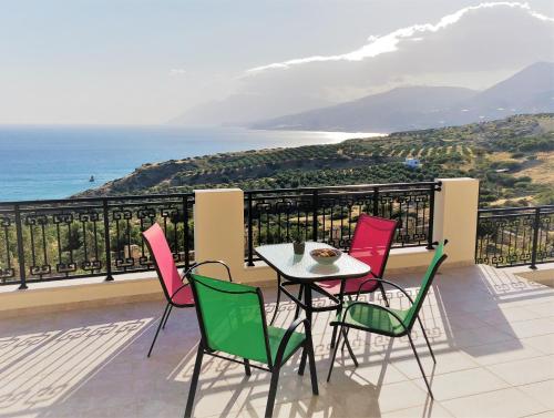
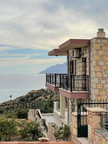
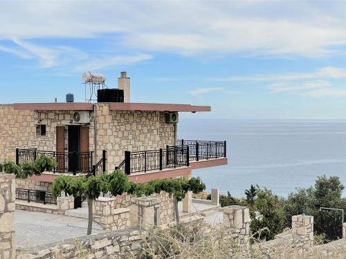
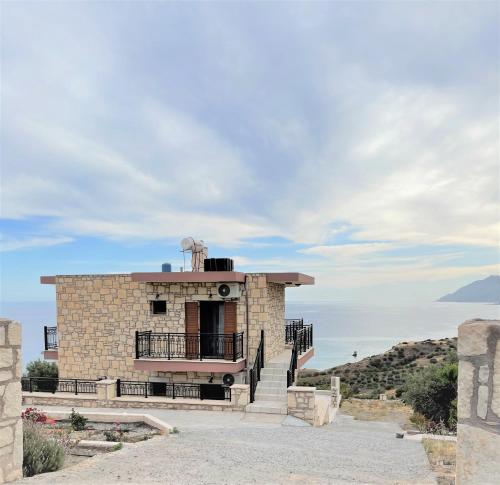
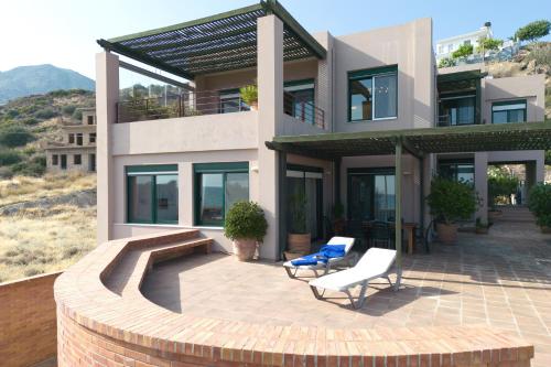
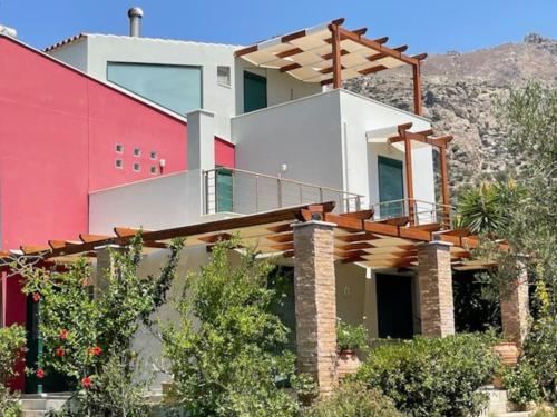
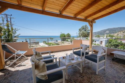
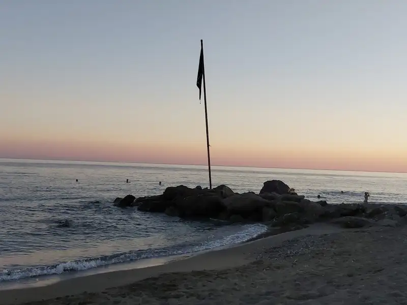
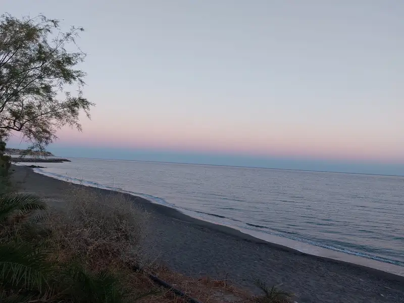
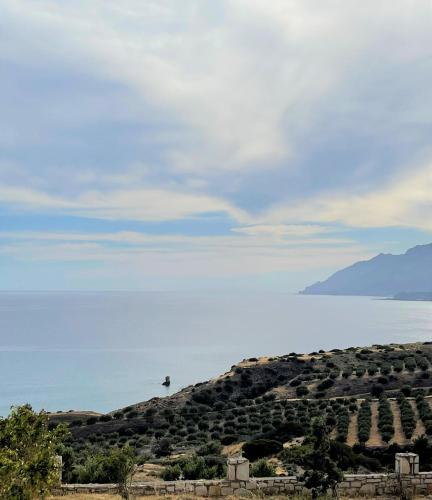
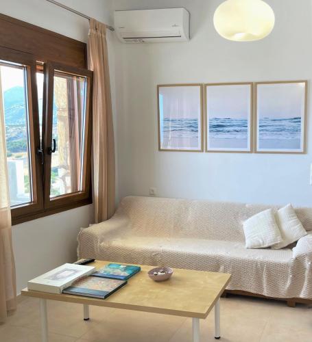
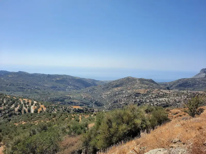
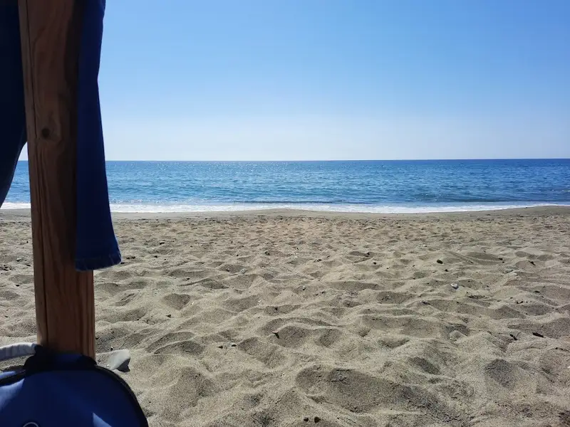
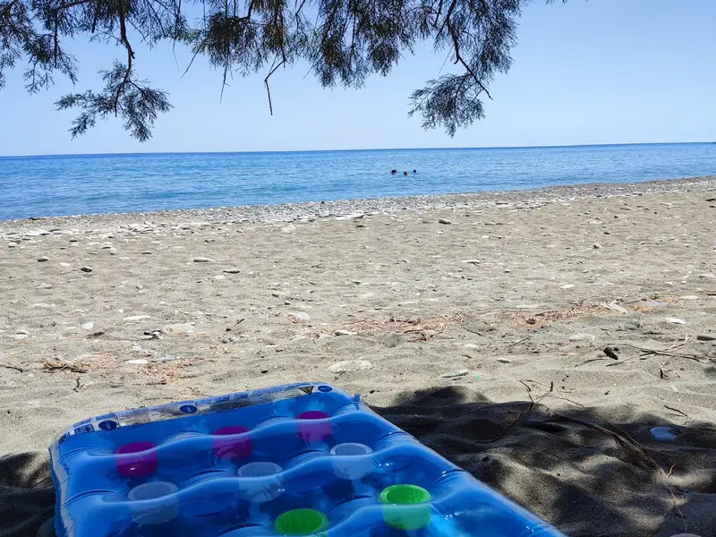
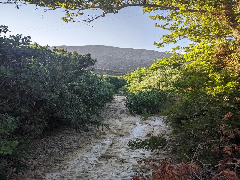
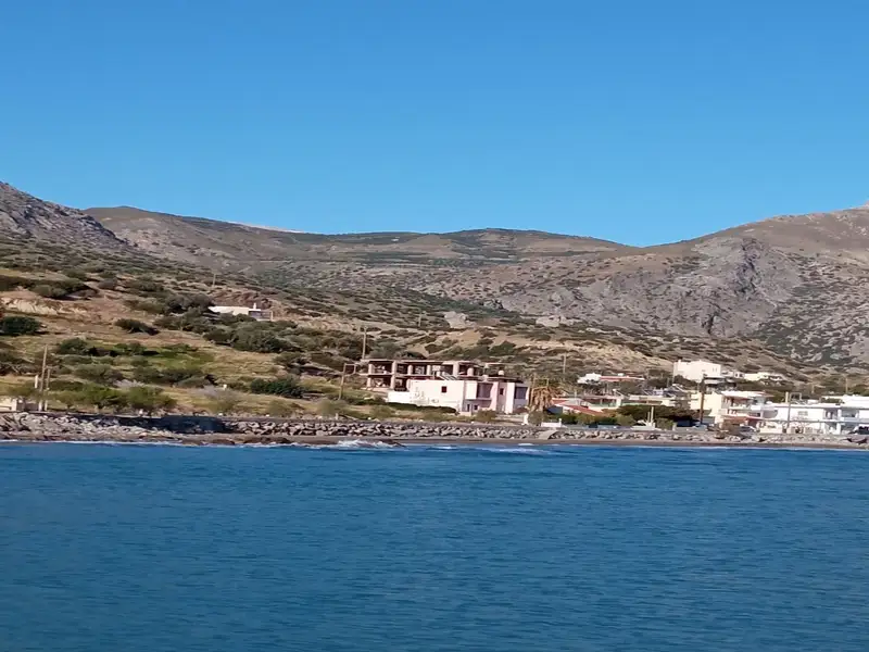
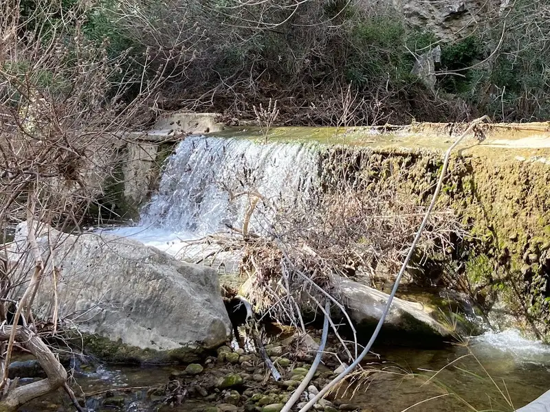
Set in Keratokampos, within 500 metres of Armenopetra Beach, Blue Coast – Seaside Villa offers accommodation with air conditioning. This property offers access to a balcony, free private parking and free WiFi.
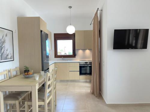
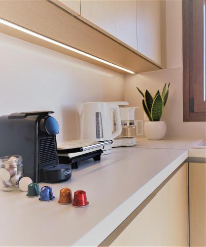
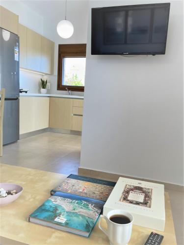
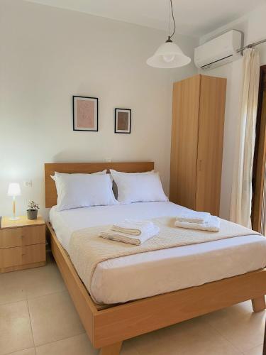
The villa with a terrace and sea views has 2 bedrooms, a living room, a flat-screen TV, an equipped kitchen with an oven and a fridge, and 1 bathroom with a walk-in shower. Towels and bed linen are offered in the villa.
Guests can also relax in the garden.
The nearest airport is Heraklion International Airport, 64 km from the villa.
Κερατόκαμπος
No results available
Find below list of things to do near Blue Coast – Seaside Villa:
Through this route you will have the opportunity to take a wine tour at a local winery with tasting and information on wine production from ancient times to the present day. Also enjoy the route which combines impressive mountains, a panoramic view of southern Crete, the impressive gorge with the incomparably beautiful waterfall Richtra and the charming beaches of southern Crete.
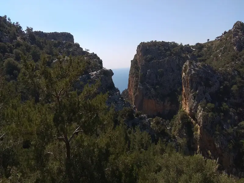
Starting from your hotel we head to the winery where the wine experts will introduce you to this special world of wine. You will have the opportunity to taste but also to learn all the secrets of production, of the varieties we have in Crete, as well as winemaking techniques of yesterday and today. Then we will cross a route through small traditional villages surrounded by verdant hills and olive groves. Just before our descent into the gorge we will make a photo stop at a spot with an incredibly beautiful panoramic view of the South Cretan sea that will amaze you!
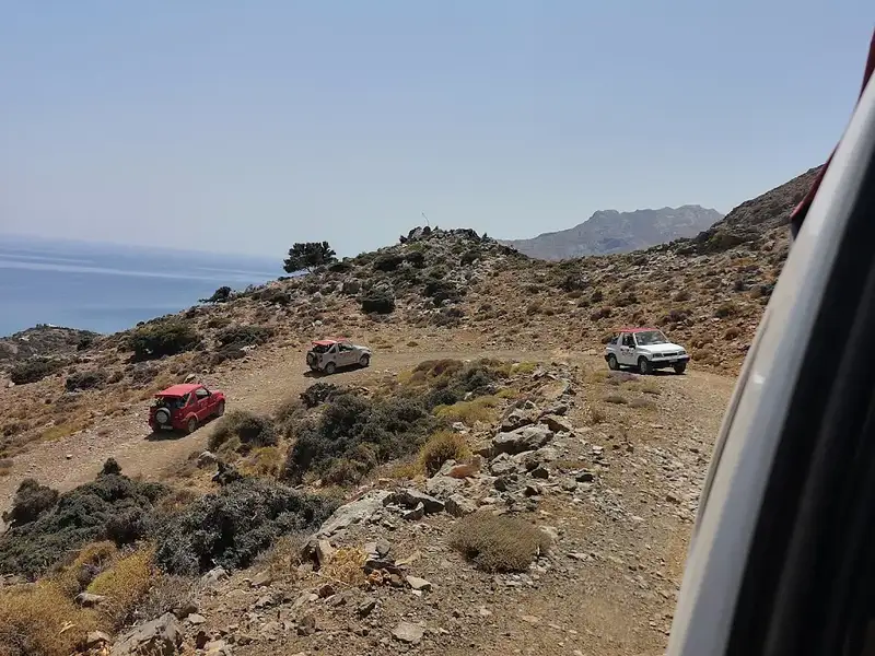
Then we will head to the local gorge by a highly impressive off-road descent with continuous spectacular views amidst nature. The Portela Gorge which has an extremely unspoiled landscape that will be deeply etched in your memory as its river passes through cliffs and sheer cliffs, rich in both flora and fauna ending in the spectacular Richtra waterfall with flowing water until the spring that ends in Keratokampos.
Having enjoyed our walking exploration among this magical landscape we will be transferred to the beach of Tsoutsouros, where you will have enough time to enjoy both the crystal clear waters of southern Crete and a wonderful bbq lunch by the sea. This quiet and welcoming place will enchant you and the photos you will take will be impressive.
Full of unique memories and images we take the way back having visited unique places and having experienced life experiences!
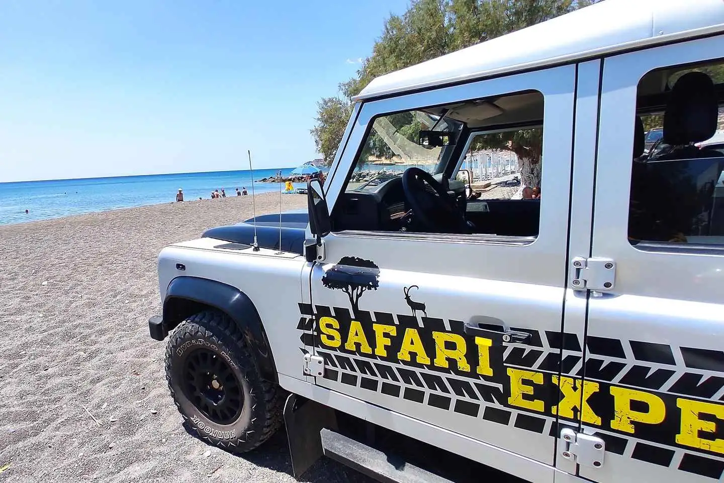
Discover the magic of South Crete on a Self-Drive Private Jeep Safari in Convoy with our Brand New & Fully air conditioned 4X4 Dacia Duster. Shared or Private!
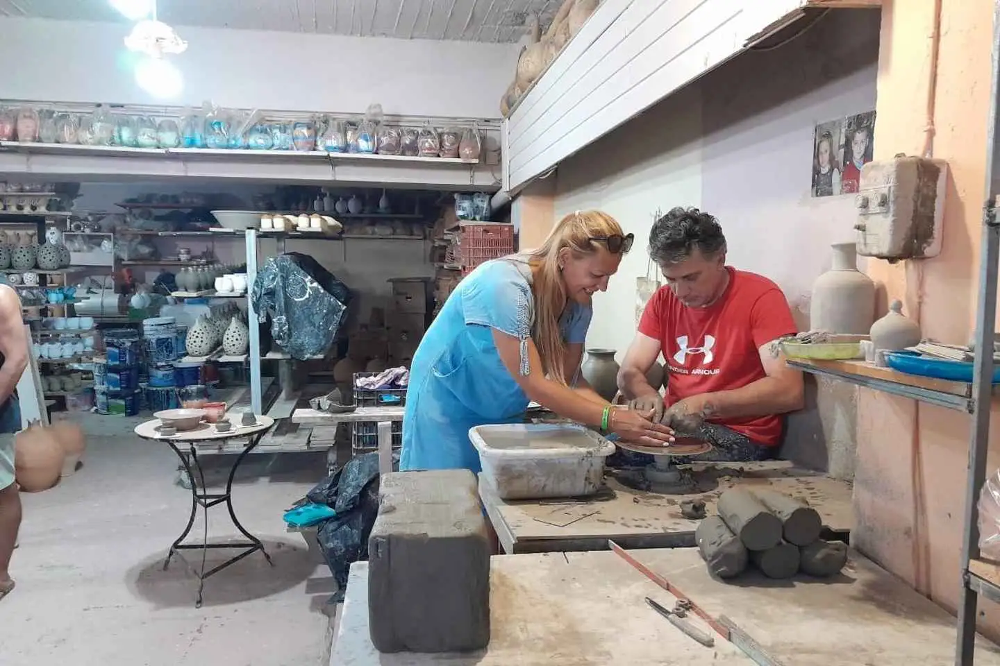
Feel the Off-road, Swim in the South, visit the local pottery workshop, create your ceramics and feel the authentic vibes of Crete! We start by exploring off the beaten paths through olive groves, traditional villages, scenic landscapes, and more! Then let’s uncover the art of pottery from ancient traditions to modern processes in the local workshop. We continue our adventure with an impressive off-road descent through the Gorge of Portela that is offering a breathtaking photo stop. Enjoy seaside driving along the Libyan Sea, Swim in the crystal-clear waters of Tsoutsouros beach and have your lunch by the sea. We end our day with panoramic views, letting the essence of Southern Crete captivate us! Take the wheel and let’s explore the South!
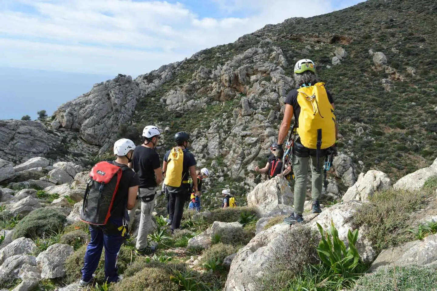
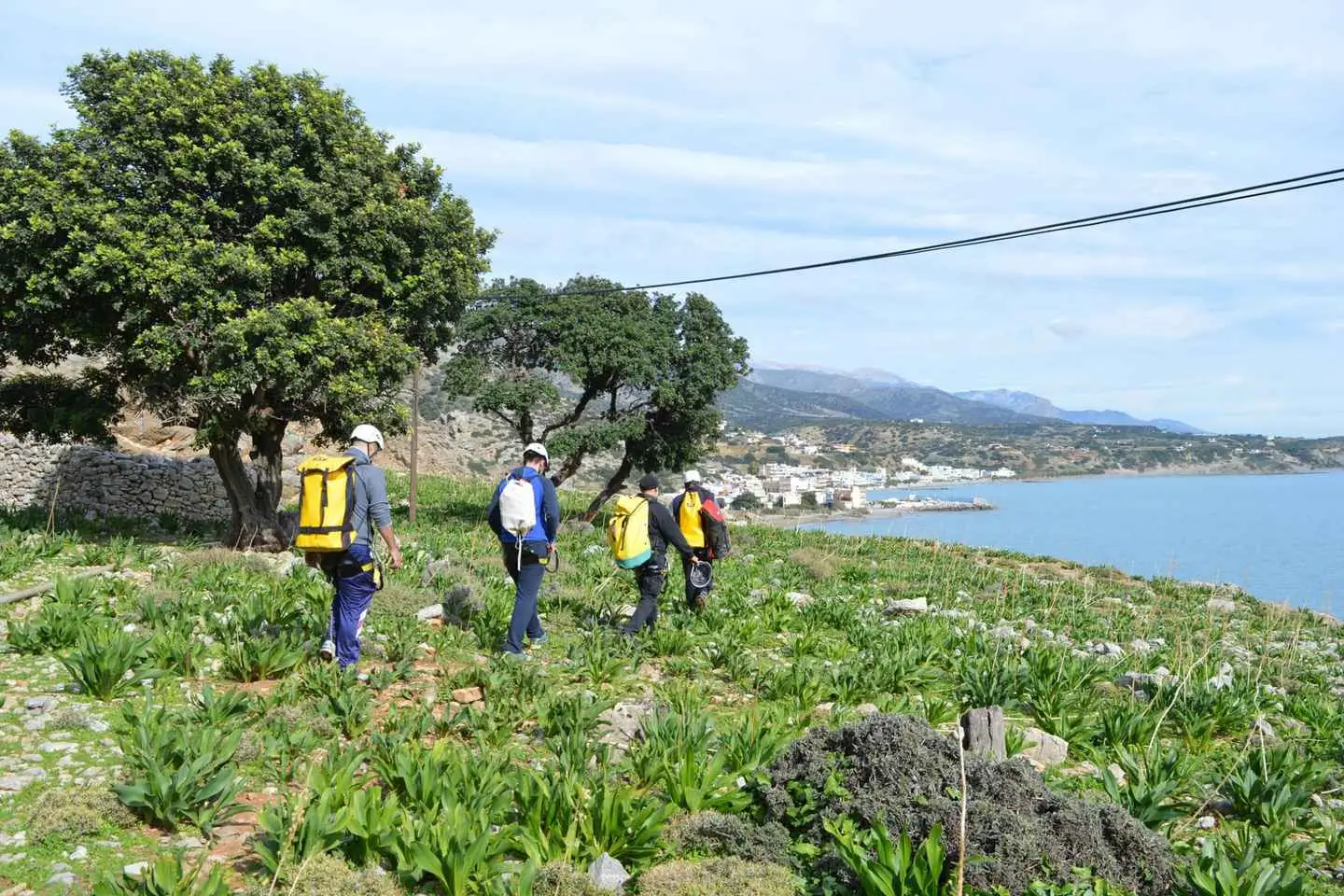
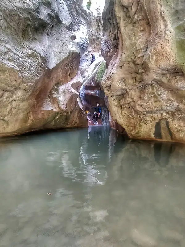
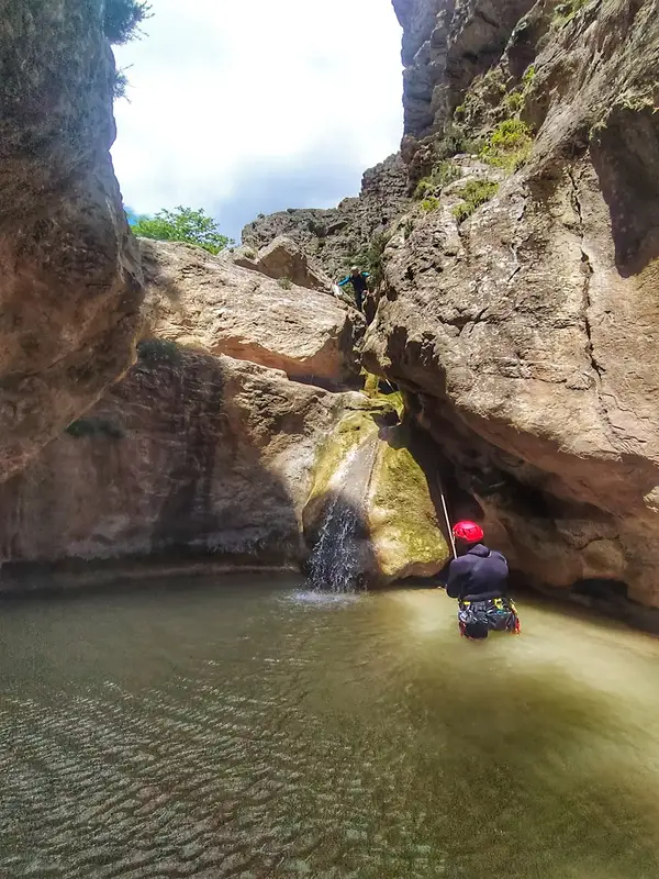
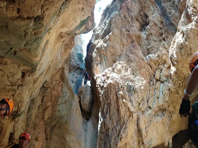
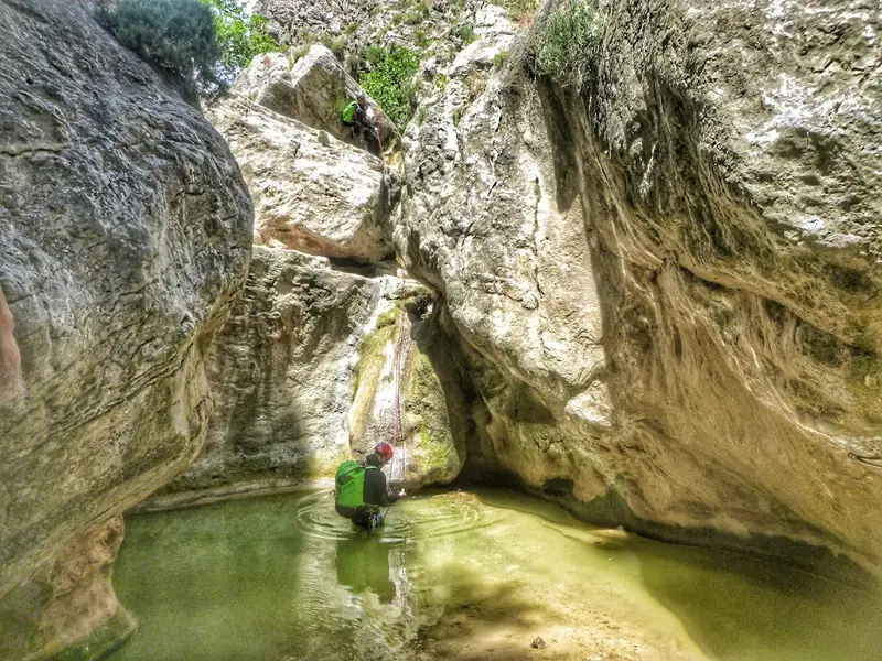
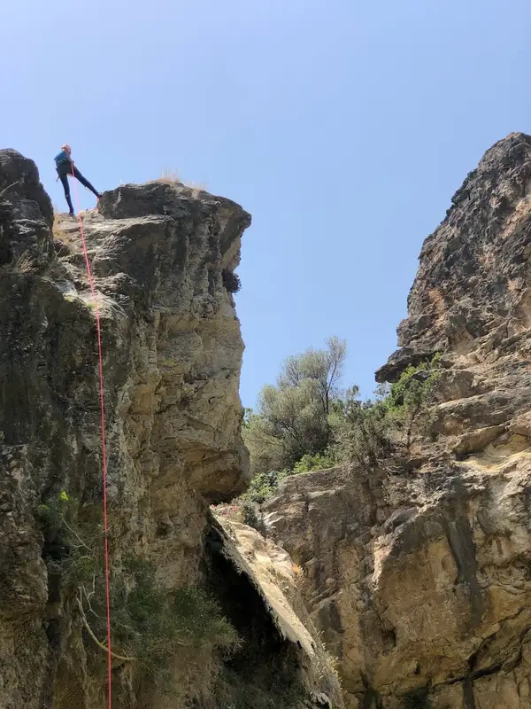
Discover Tsoutsouros gorge, one of the many gorges in the Viannos area of South Crete. Abseil down this beautiful and technical canyon, suitable for beginners and anyone up for a challenge.
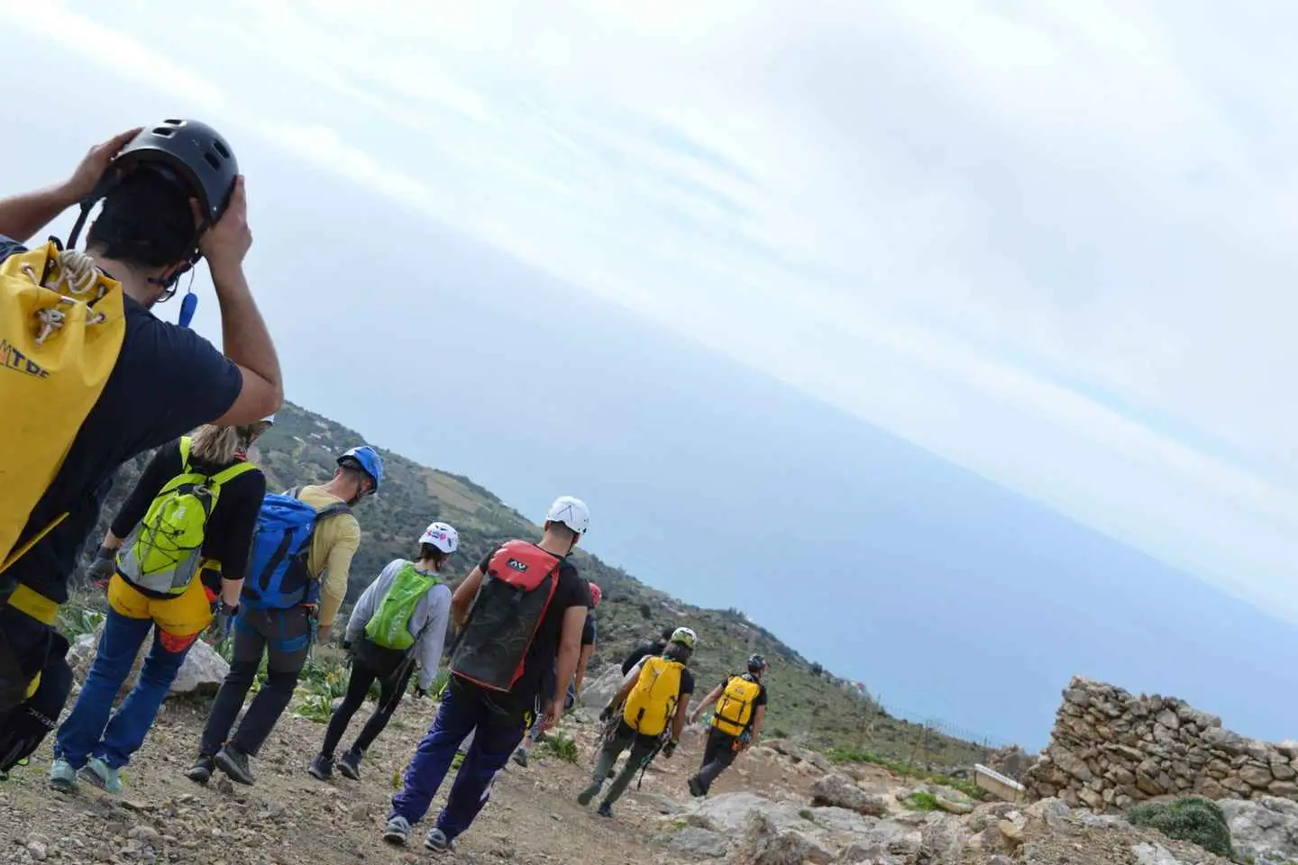
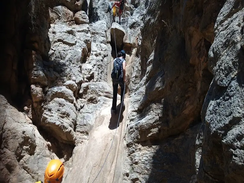
Begin your adventure with a short hike from the parking lot and reach the entrance to the canyon. From there, hear a short safety and equipment briefing before strapping up and entering the canyon. Start with short and easy abseils, ideal for getting used to the techniques and the use of the equipment. Gradually, take on longer and steeper abseils.
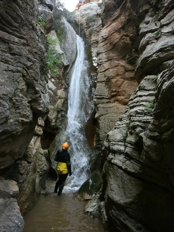
Admire the constantly changing terrain and seaview during your descent through the canyon. Depending on the weather conditions, you may come across water in the gorge until the beginning of summer. If so, have the incredible opportunity of abseiling through waterfalls.
The duration of the descent can vary from 3 to 4 hours depending on the experience of the group. After your abseil, head to the beautiful Tsoutsouros village.
No results available
Find below list of beaches near Blue Coast – Seaside Villa:
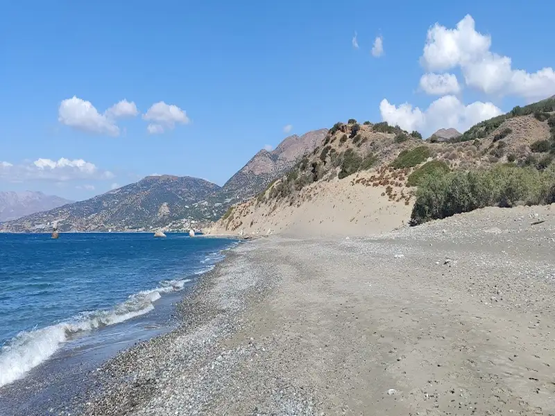
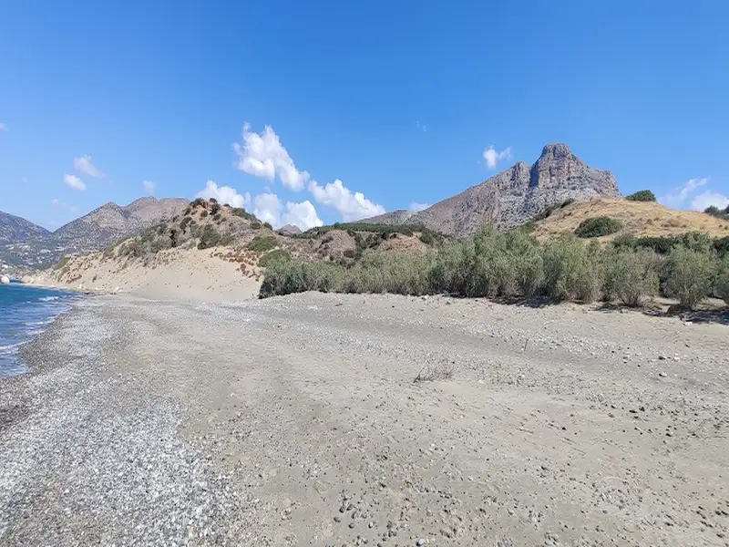
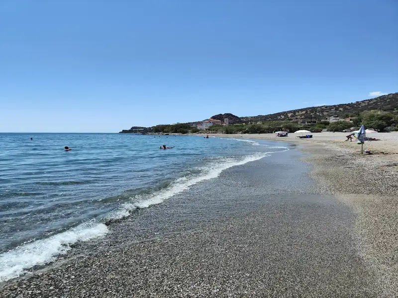
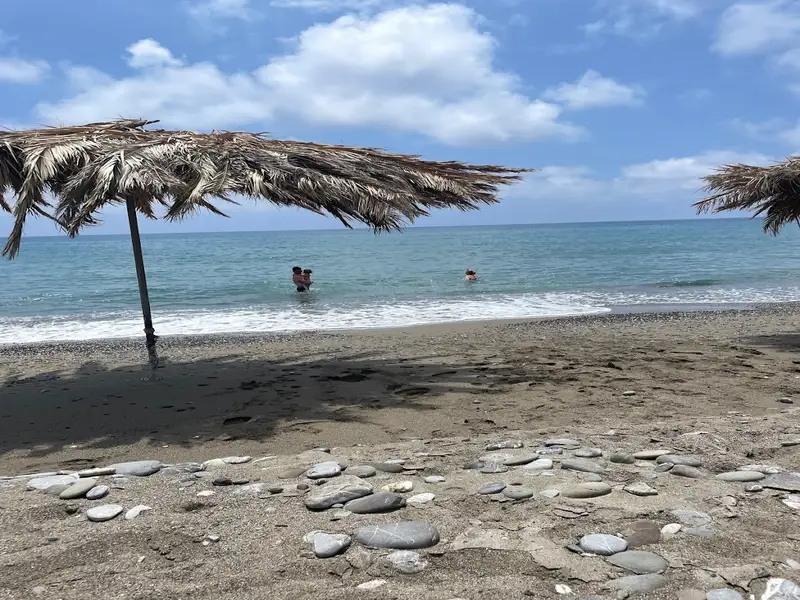
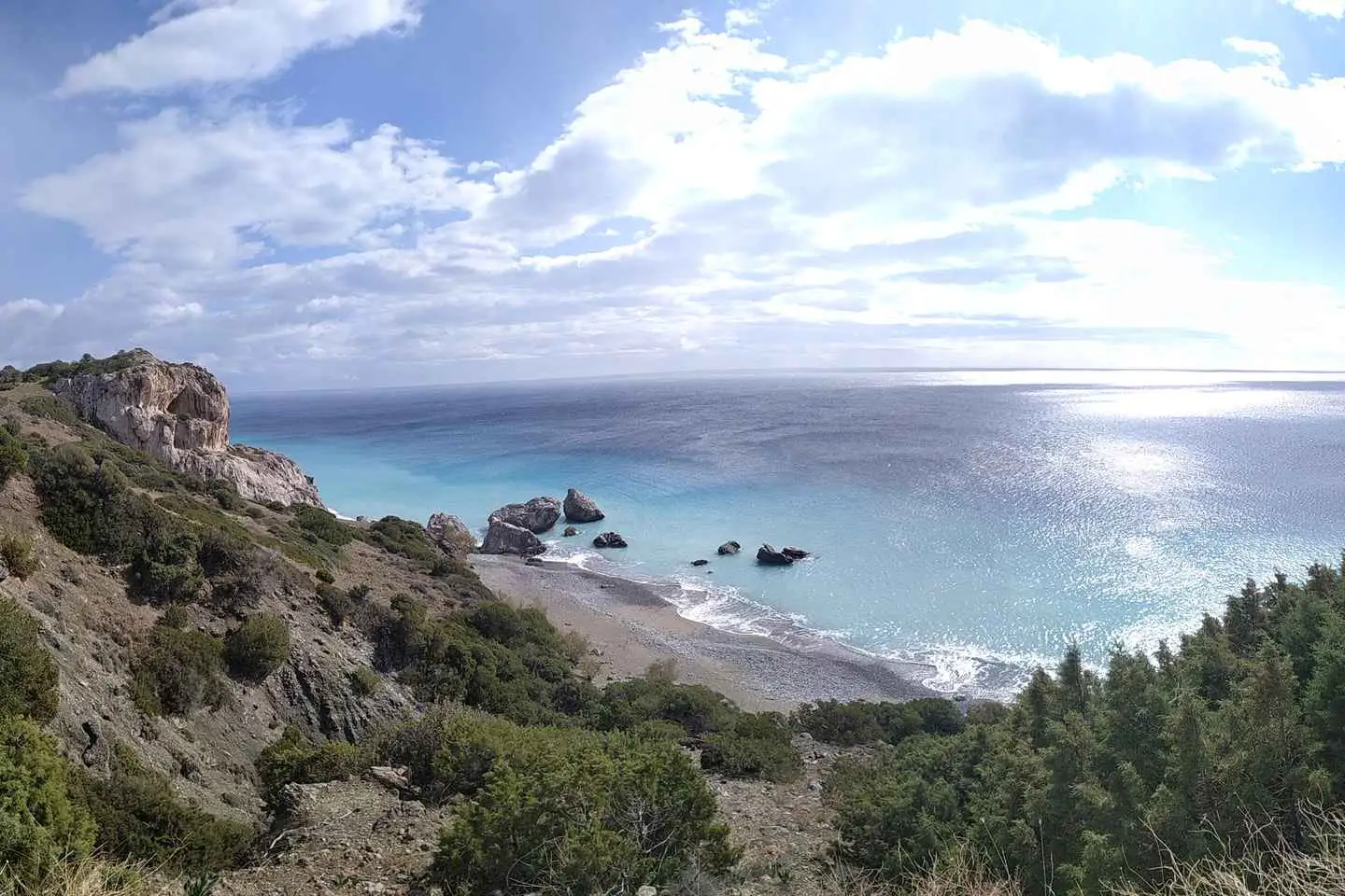
The beach of Armenopetra is nestled between the Skoutaris river to the east and the small village of Monobouka to the west, located 5km east of Keratokambos. This stunning beach is one of the most picturesque in the Keratokambos area. The name Armenopetra, translating to ‘Sailing Rock’ in Greek, is inspired by the large, distinct rock that sits in the middle of the beach. It boasts a mixture of petite pebbles and sand, and its waters are a captivating shade of blue. The area is relatively untouched, with only a few greenhouses cultivating bananas and vegetables. This allows for tranquil, secluded spots on the beach, potentially for those who prefer to sunbathe in the nude.
Just west of Armenopetra, you’ll discover the low sandhills known as Pahia Ammos or ‘thick sand’. Regrettably, these sandhills have experienced significant reduction due to prolonged exposure to irrigation pipes. This has resulted in hardened mud formations. These sand dunes are a unique and scarce ecosystem in Crete, inhabited by rare flora and fauna. If you’re fortunate, you might spot the rare white sand lilies, a sign that summer is drawing to a close.
As you transition from Keratokambos towards the Arvi area, the final stretch of beach you’ll encounter is Cape Peristerionas, situated below the Vahoudianos Xerokambos greenhouses. This beach is entirely uncommercialised and is almost always deserted. However, there’s no natural shade available, so bringing an umbrella is advisable. The beach consists of fine sand and a few small rocks on the eastern side.
Arvi, a sizable coastal community, lies 79km southeast of Heraklion and 35km west of Ierapetra, nestled in a small valley before the towering Arvi Gorge. The village is constructed on the site of the ancient city, Arvi. The valley and surrounding areas are home to numerous greenhouses, with the local population primarily engaged in agriculture. The region’s warm climate supports the cultivation of bananas, fresh vegetables, and olive oil. The Arvi bananas are distinctive for their aroma and unique taste, gaining nationwide fame in Greece after a banana import ban in 1981.
In recent years, Arvi has seen the development of its tourism sector, largely owing to its proximity to stunning beaches. The village is peaceful and family-friendly. The main beach, situated west of the small harbour, boasts coarse sand and occasional pebbles. It is well-equipped with amenities such as umbrellas and water sports, and there are plenty of options for accommodation and dining nearby. A short walk westward leads to a lengthy pebble-strewn beach, a more secluded spot near the main road to Amira’s village and adjacent to the pebble beach of Kolimbi settlement.
A five-minute walk west of Kolimbi takes you to the secluded sandy beach called Makis, also known as Vahoudianos Xerokambos. Nestled in a remote bay, this beach, with its fine sand and clear water, is a sanctuary for those seeking solitude.
Arvi’s history extends back at least to 2600 BC, as evidenced by Neolithic artefacts found in the area, likely attracted by the region’s favourable climate. During the Roman period, Arvi was a significant Mediterranean port. A Roman bath discovered near the Saint Panteleimon church and numerous tombs, unfortunately looted, bear testament to this era. The most notable discovery is a marble sarcophagus adorned with Dionysiac scenes, unearthed by locals near the sea in the 19th century. Regrettably, the sarcophagus was broken by locals in search of gold and is now displayed and restored at the Fitzwilliam Museum in Cambridge. A similar fate befell a second sarcophagus belonging to the region’s Roman ruler, which was broken to build the church’s altar, although its lid was saved and is also displayed in the same museum.
The village of Arvi derives its name from the temple of Arvios Zeus, worshipped on nearby Arvion Mount. It is believed that the sanctuary was constructed at the mouth of the wild Arvi Gorge, where the Monastery of Saint Anthony now stands. The monastery’s unique location on the steep slopes of the gorge is truly remarkable. Some scholars suggest that Arvi was the landing point for the Saracens when they took over Crete in 828 AC.
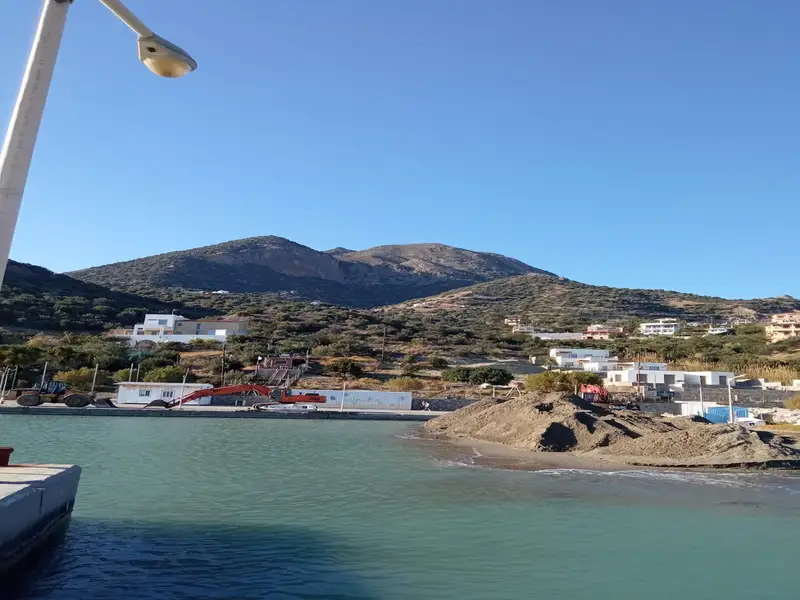
Located 72km southeast of Heraklion, the small seaside resort of Keratokambos, along with the nearby coastal settlement of Kastri, has evolved into a sought-after family destination over recent years. The village of Keratokambos is fronted by a lengthy sandy beach, extending for several kilometers in both directions.
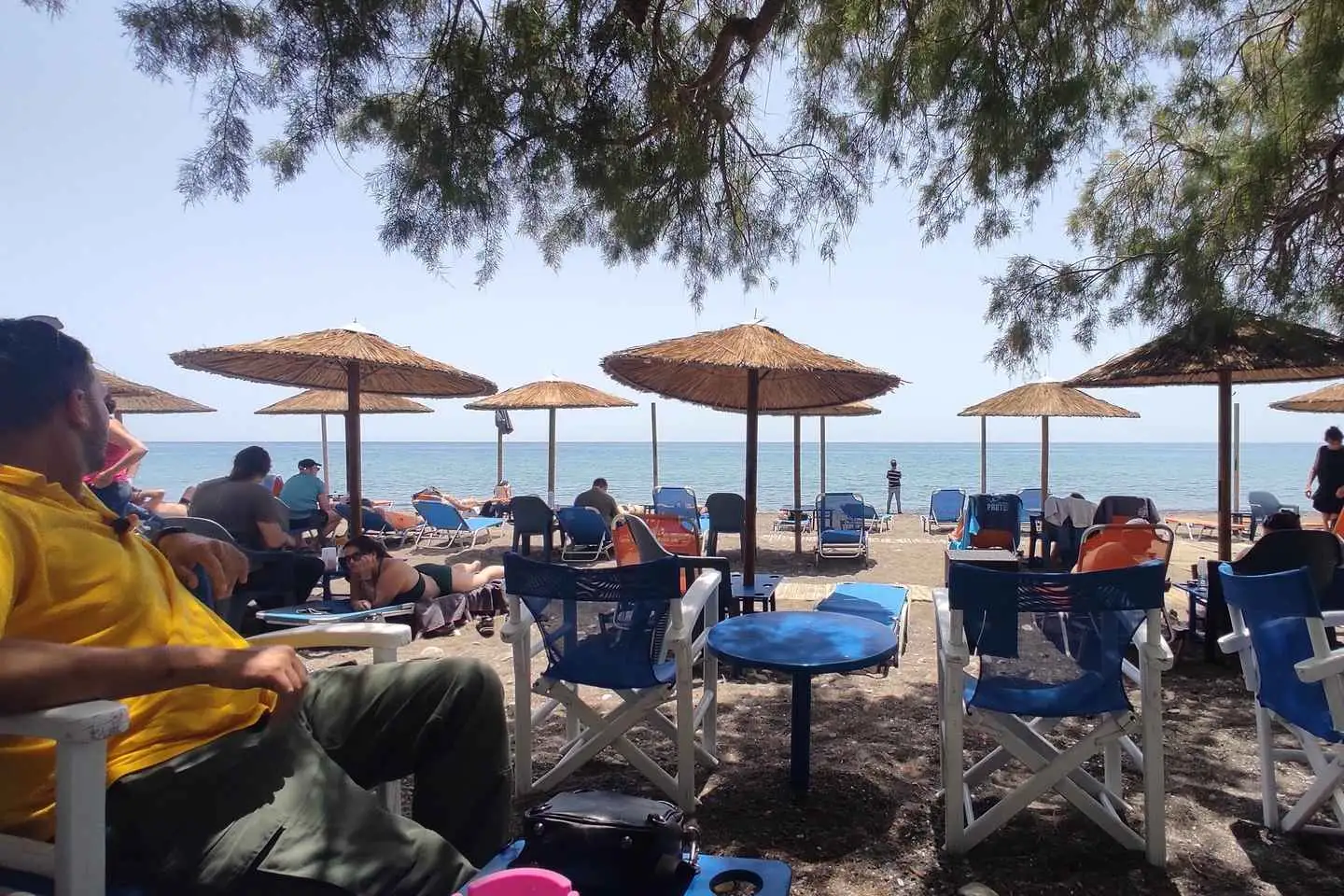
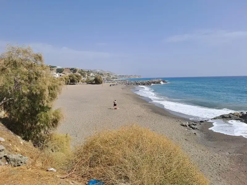
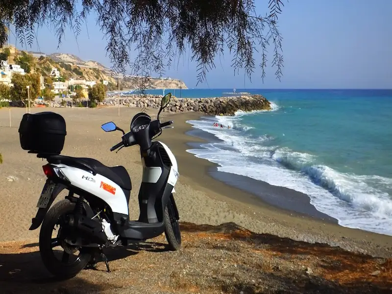
The village’s main beach is situated to the east of the local harbour, extending eastwards up to the Keratokambitis river. The beach is quite organized where it adjoins the village, and in some areas, it is strewn with large pebbles, making it a suitable spot for snorkelling. The beach becomes more peaceful and secluded as you move eastwards. Following this is Monobouka beach, located near the Kapsali settlement, and equipped with a few tourist facilities. Monobouka beach, with its sandy terrain and shallow waters, is perfect for children. The beach is dotted with many tamarisk trees, providing ample shade.
A brief overview of the Keratokambos area reveals that Keratokambos (and Kastri) function as the harbour for the inhabitants of the mountainous village of Ano Viannos, situated further north. In the 1950s, the area housed only warehouses for storage of products like carob, citrus, oil, etc. The local harbour was employed for transporting these products to urban centres via cargo ships, as there was no road network at that time. Today, Kastri and Keratokambos form a unified village, which has witnessed significant growth in tourism in recent years. The village boasts of a school, a clinic and a notable gallery.
The name Keratokambos translates to Carob Fields in Greek, a name derived from the locust trees grown in the region for producing carobs. Another interpretation suggests that the name comes from the Greek word ‘Kerato’, meaning horn, referring to the towering steep rock, called Kerato, located north of the village in the Vigla area. The top of Vigla houses the ruins of a Venetian fortress, while its base is home to a large cave with rich stalagmite decorations and numerous bats.
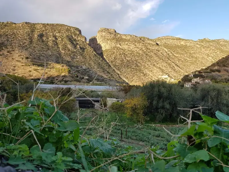
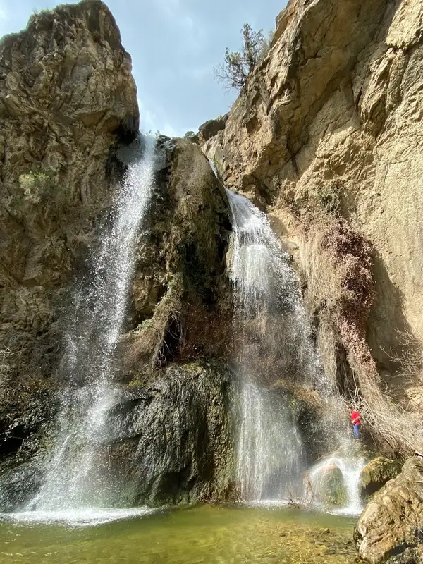
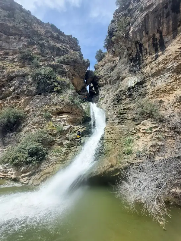
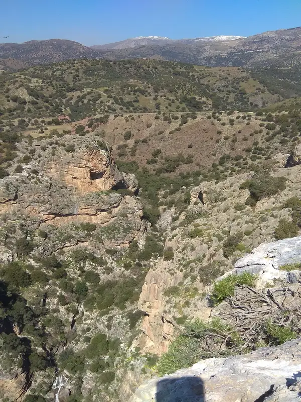
The villages of Keratokambos and Kastri are built in a valley formed by several wild gorges, with the Keratokambitis river cutting through the rugged Portela gorge. In the Richtra region, a beautiful 10m high waterfall can be found, which is worth a visit (especially in spring).
The Kavousi and Piskopi Pidima (Bishop’s Jump) gorges are other impressive natural formations of the area. The latter gets its name from a local legend of a bishop and his horse miraculously leaping across the gorge to escape from the Turks. As a tribute to this miracle, the bishop built the church of St. George near the gorge.
Situated 72km southeast of Heraklion, within the sheltered Keratokambos bay, you’ll find Kastri – the larger of the two conjoined settlements in the region, the other being Keratokambos. Over recent years, tourism in Kastri has seen significant growth, driven largely by the appeal of its surrounding beaches. The serene and welcoming atmosphere attracts many families, some of whom visit multiple times a year. Kastri is accessible by car, with the drive from Ano Viannos to Heraklion taking between 45 to 55 minutes.
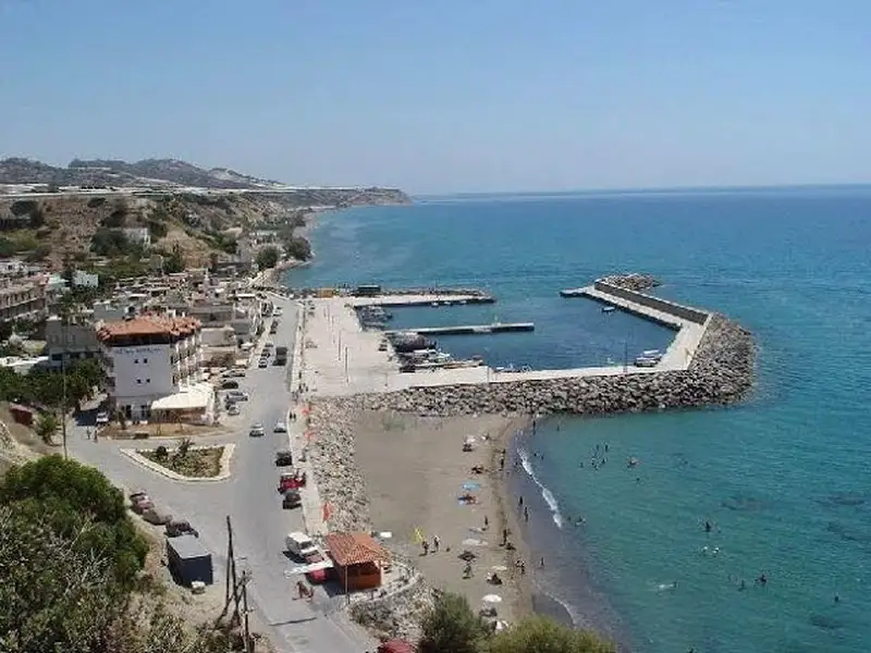
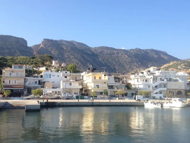
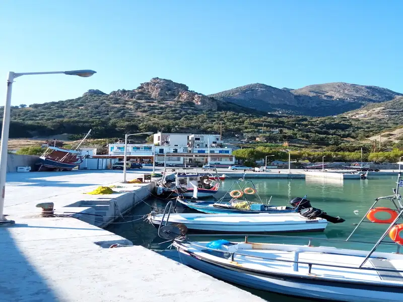
Kastri’s distinctive port serves the local fishing community and welcomes other boats. Adjacent to the port, towards the west, there’s a small but stunning sandy beach, adorned with tamarisk trees. Given its proximity to the village amenities, such as rooms, taverns, and shops, it’s one of the most popular beaches in the area. Further west of this beach, you’ll find the longest beach in Skouros.
While in Kastri, don’t miss the opportunity to visit the Church of St. Demetrius Galatoktistos, which used to be a monastery, and the chapel of St. George Vagionitis, set amidst a verdant garden.
No results available
Find below list of gorges near Blue Coast – Seaside Villa:
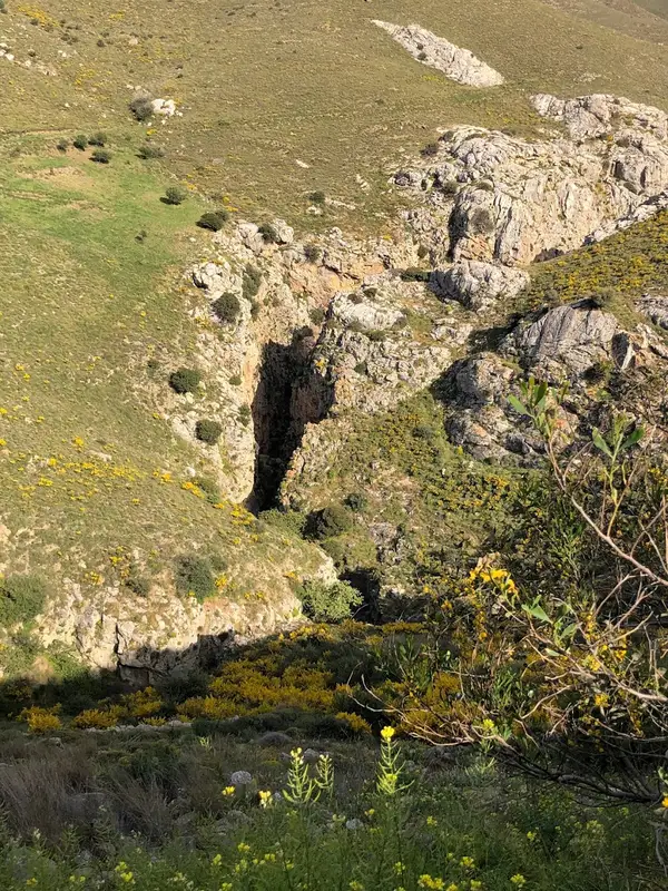
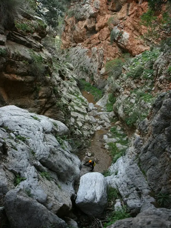
The Portela Gorge, positioned in the southern region of the Heraklion prefecture, serves as a drainage channel for the Ano Viannos basin, directing water towards the South Cretan Sea. The gateway to this gorge is situated at the Hondros village, and it leads out to Keratokambos. It ranks among Greece’s most perilous canyons, only to be traversed by seasoned canyoners. Particularly after heavy rainfall, the gorge can prove lethal. However, a passable trail and road run alongside the gorge, stretching from Hondros to Keratokambos, but they lack the allure of the canyon’s interior.
This gorge is a blend of beauty and wilderness, earning it legendary status in the region and ranking it among Crete’s most popular canyoning locations, alongside Ha and Arvi. It boasts the greatest water volume during winter and early spring compared to other local gorges. The canyon features 25 technical descents with the highest being 30m, and a 340m altitude difference between the entrance and exit. Owing to the area’s inaccessibility, locals are primarily familiar with the last waterfall, Richtra, at the gorge’s exit, which can be reached without any equipment.
Five faults intersect the canyon, contributing to its formation along with gully erosion. These faults divide Portela into three sections, resulting in a rich variety of plants and landscapes. A unique feature of this canyon is the abundance of mud it holds, possibly due to the “Viannos” rock formation visible before the gorge. This formation contains large amounts of clay, which is carried into the canyon by the water flow. The gorge’s signature feature is the stunning Sifoni, a large waterfall in a sinkhole, the “bottom” of which has been opened, allowing the waters to continue their journey.
Crete is home to numerous stunning locations, but a select few can truly be classified as natural marvels. One such marvel is the Arvi gorge, which dramatically splits Arvion Mount in two. This is the location where the shrine of Zeus Arveios once stood. The Arvi and Cha gorges are considered the most awe-inspiring canyons in Crete. The Arvi gorge can be found to the north of the coastal village of Arvi, in the southern region of the Heraklion prefecture, and it has been carved out of the limestone of Mount Dikti.
This gorge is technical in nature, meaning it necessitates canyoning equipment and flashlights to navigate due to the presence of numerous waterfalls in succession. It is a truly perilous area, and any attempts to cross it by those unaccustomed to canyoning could result in tragedy. From winter until the onset of summer, the canyon is filled with water, which adds to its awe-inspiring beauty. The majority of this water originates from the perennial springs of Kefalovrysi. The Arvi gorge presents a high level of difficulty.
The entrance to the gorge is located in the Konisma (Icon) forest, named after a rock that resembles an icon of Christ. The gorge stretches across the Fournos area and features numerous descents, the most remarkable of which is an astounding 85-meter waterfall named Kapnistis (Smoker). This waterfall is named for its smoke-like water spray, which is a result of its incredible height. Kapnistis is one of Crete’s tallest and most impressive waterfalls. However, what truly sets this canyon apart from others in Greece is the section after the high rappel of Kapnistis, where the river flows into the earth for 150 meters, forming an underground river within a cave. In this underground section, the river continues to form waterfalls. Lighting equipment is necessary to navigate this completely dark area. After this dark section, the gorge remains incredibly narrow with extraordinary formations and large rocks, known as splines, beneath which we pass.
Following approximately 20 waterfalls, the gorge concludes and leads to the fertile plains of Arvi, renowned for their banana crops, and situated next to the monastery of Saint Anthony (Agios Antonios). The area at the gorge’s exit is humorously named Donkey’s Ass! In ancient times, a bountiful water spring existed here, but it has since dried up due to the construction of wells. This natural wonder has been a popular attraction for travelers since ancient times. The gorge’s river ends in the South Cretan Sea, but the water never reaches the sea due to its use for irrigation.
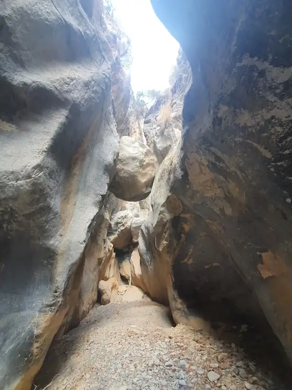


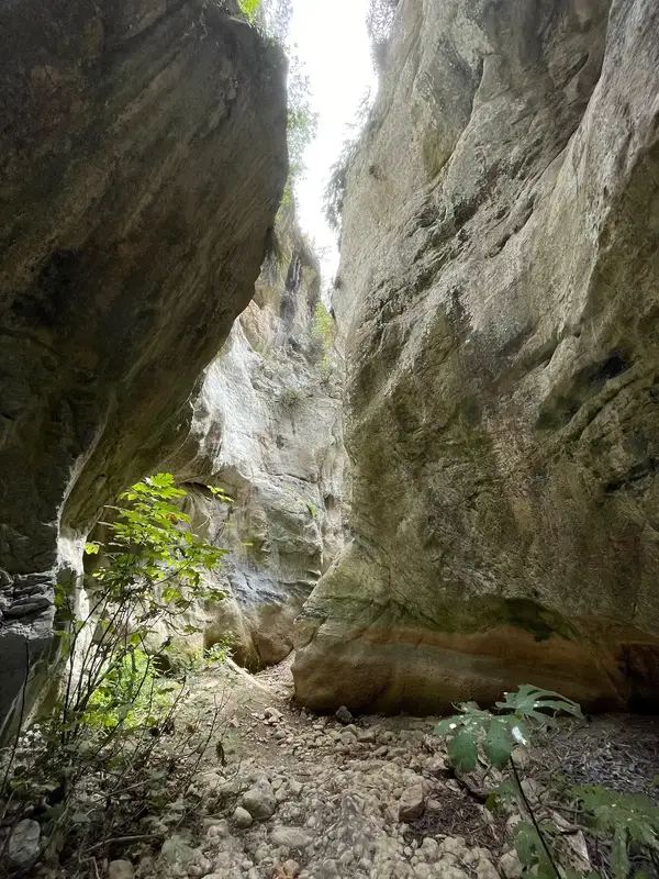
Also known as Kalami I, the Panagia (Virgin Mary) Canyon runs in parallel to the Xerofarago Gorge, or Kalami II. It’s named after the Panagia Keralimeniotissa Monastery, which used to be located at the canyon’s exit. This canyon is technical, meaning it features steep descents and requires special canyoning gear to traverse. Spanning roughly 600 meters, the canyon includes six rappels, the highest of which is about 15 meters. It’s rich in vegetation and has a distinct beauty. The riverbed holds water until spring. Crete’s speleological clubs have bolted the canyon, and a small canyoning group can navigate it in about 1:30 hours.
If you’re planning to use two cars and park them at the canyon’s entrance and exit, the distance between the two parking spots is around 2.5 km or a 10-minute drive. Alternatively, you can reach the entrance by walking along the canyon walls for approximately 20-25 minutes.
A few kilometres west of Tsoutsouras gorge in the eastern Asterousia range, you’ll find the smaller and narrower Troulla gorge. Though it’s shorter than the Tsoutsouros canyon, it has captivated the hearts of canyoners with its over 15 stunning waterfalls, the tallest reaching 15m. Its close proximity to the Tsoutsouras Canyon makes its geological features similar. It was endearingly named Tsoutsouraki, meaning small Tsoutsouras, by the first group to traverse it.
The entrance to the gorge is situated just west of a remarkable rock known as Troulla near Tsoutsouras, at a location called Meli Lakos (Honey’s Pit). The exit is located in the area of Staoussa, adjacent to the village. Descending the gorge requires technical canyoning equipment, particularly during the winter when the waterfalls are in full flow.
No results available
© All rights reserved. Crete Locals